Today I stepped outside of Southwestern Pennsylvania and headed out into South Central Pennsylvania. I know it goes against the title of the blog but a fella needs to expand his horizons from time to time. This is a 17 mile long trail that mainly follows the old towpath of the Pennsylvania Main Line Canal. The canal started becoming obsolete in the 1850's when the Pennsylvania Railroad purchased the canal and started laying its tracks on the old towpath.
It's all a very similar fate to Saltsburg and every other town that was on the canals main line. However, the extent of the remains in this Juniata Section of the canal greatly surpasses any I've ever seen before. There are two remains of still intact stone locks that are great examples of the overall size of these things. Also, the trail offers many remains of limestone quarries as well as the ruins of some unique old houses.
I started out at the trailhead near Canoe Creek State Park in Blair County and followed the trail to its eastern terminus at Alfarata in Huntington County. I did it backwards. There is a slight grade heading west but it's only 180 feet over 17 miles so it's not very noticeable. The rain caught up with me on the return trip too but there are a lot of pavilions along the way. Also, bring food. The only place to eat is Williamsburg, 5 miles from where I parked.
Anyway, here's the trip.
 |
| This is about 3 miles from Canoe Creek. It's an early 1900's train station that served the village of Ganister. It is currently the HQ for Rails To Trails of Central Pennsylvania. |
 |
| Heading down a little further, this rock formation sits across the river from the trail. |

 |
| Some old bridge piers in the river. |

 |
| This is heading into the town of Williamsburg. |
 | ||
| Williamsburg ball field. |
 |
| A farm outside of Williamsburg. |
 |
| The first of the old railroad bridges. |
 |
| Remains of an old wall. |
 |
| One of the bridge piers. Look closely.... |
 |
| There's a nesting goose. |
 |
| This old house is awesome. On the trail map it lists old Lock Keeper houses. I'm not sure if this is one of them but it certainly could be. A mention I found of this house online lists it as being built in 1818. That would predate the canal. |
 |
| Back of the stone house. |
 |
| Another set of bridge piers. |
 |
| One of the bridge abutments. |

 |
| This is the first of the intact lock ruins. There were 86 locks on the Juniata section of the canal. |
 |
| Some of the hardware that held the enormous doors still exists. |


 |
| The wall on the left doesn't look like it in the photo but it was probably over ten feet tall. |

 |
| This is a strange concrete house. Maybe it was an office building for one of the quarry companies. A concrete house doesn't really fit the time period for a lock keepers house. |
 |
| Concrete steps in the concrete house. |
 |
| Concrete debris in the concrete basement. |
 |
| A piece of concrete dangling in the doorway. |
 |
| Looking out the window. |

 |
| Remains of one the stone quarries. |
 |
| I thought they were mining ruins but there's a massive high wall on the hill above it. |
 |
| An old quarry building. Another concrete structure. |


 |
| The quarry on the hill above the ruins. |
 |
| This is the second and most intact of the locks. It seems to be the trails centerpiece. |
 |
| It is very impressive. |

 |
| This lock is huge. |
 |
| Some of the middle falling in. |
 |
| According to the trail map, this is lock #53. |
 |
| This appears to be an old foundation for one of the lock buildings. |
 |
| Another railroad bridge crossing the Frankstown Branch of the Juniata River. |
 |
| The river was running high but still looked very clean. |
 |
| One of the railroad cuts. |
 |
| Some more quarry ruins. |

 |
| Another bridge abutment on the other side of the river. |
 |
| The other abutment. |
 |
| Some old hardware in the bridge abutment. |
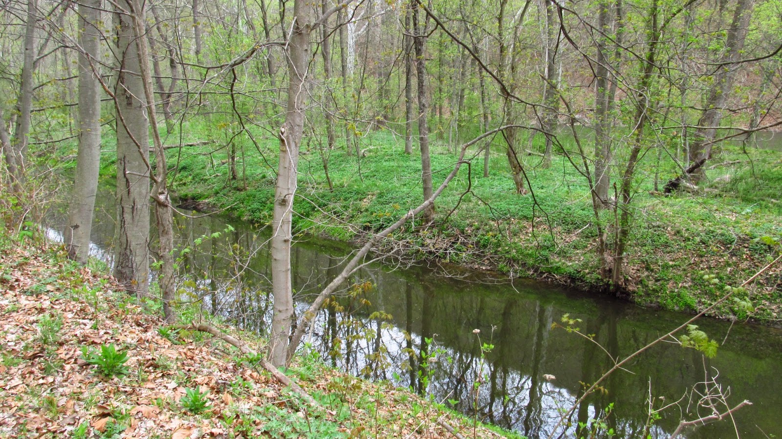 |
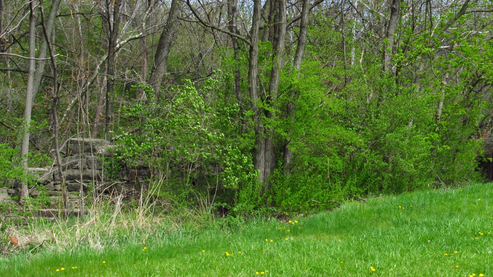
| A really nice section of the canal still containing water. |
 |
| This is the last quarry. Owens Quarry. |
 |
| These remains are pretty extensive. |

 |
| I'd love to see photos of when this was active. |

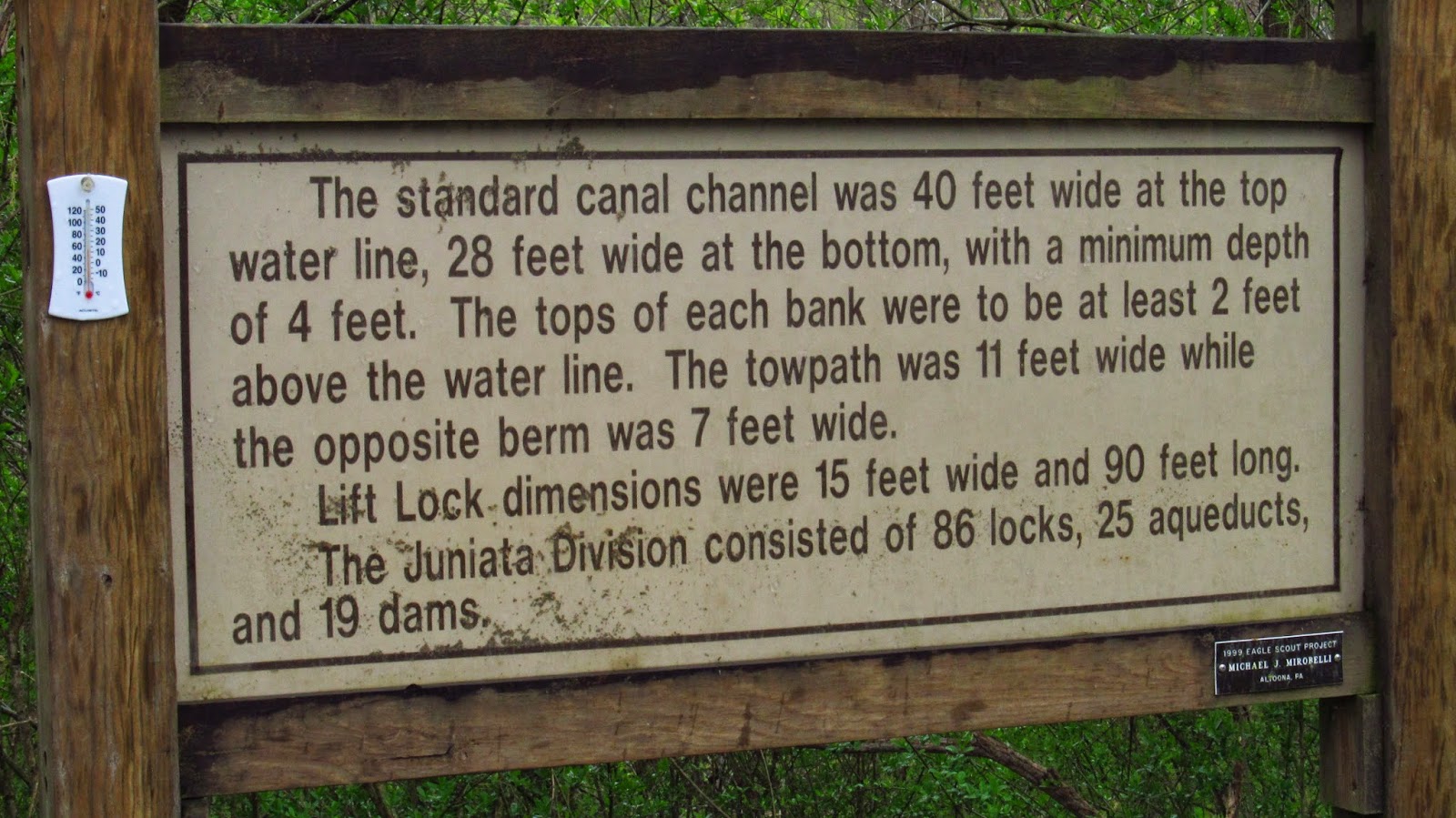
The following three photos are of some of the informative historical signs along the trail.