Century, PA is essentially a ghost town located high on a hill south of Brownsville. The town, mine and coke works date back to approximately 1905, the year the Dunlap Creek Branch of the Monongahela Railroad opened. The opening of the branch, like any railroad branch in the coke region, saw the opening of numerous mines and coke plants along the railroad. Century is shown on topographic maps of the area the whole way up until the 1970's. The town, built by the Century Coke Company, consisted of 24 miner's houses, three managers houses, a school and a company store. All that remains today are a few foundations and the three managers houses. The coke works at its peak consisted of 205 ovens. None of these ovens exist today. We did locate a few mine entrances as well.
 |
From the Century mine map. This shows the houses and the school. The three remaining bosses houses are circled in red. |

Detail showing the Century Coke Works, the main mine entrance and the company store.

Detail showing the Century Coke Works, the main mine entrance and the company store.
 |
A more detailed look at the mine entrance. Today we found the side portal listed on the map as well as the fan portal. |
 |
1938 aerial of Century. The houses, school, store and part of the coke works are visible. |
 |
1958 aerial showing less houses, no school, no store and no coke ovens. |
 |
1967 aerial showing even less houses. |
 |
1938 aerial detailing the mine and coke works. |
 |
Old postcard showing some of the coke ovens and what looks like a well dressed guy standing on top of a train. The wall below the coke ovens DOES actually remain. |
 |
A couple more Century postcards. |

 |
An old stone and brick Monongahela Railroad bridge that sits below Century. Last year we crossed the bridge and took a look at the Champion Coke Ovens. |
 |
Stone retaining wall below Century Road along Dunlap Creek. We came to the conclusion that Century Road is actually the old railroad siding that served the coke works. |
 |
A couple more shots below the railroad siding/Century Road. |

 |
Remains of the company store back in the woods. We'll get into this more later. |
 |
Heading into the lost town of Century. |
 |
The road leading into Century. |
 |
An old fence along the road. |
 |
The last of the miner's houses. This one must have collapsed not all that long ago. |
 |
Some of the foundation ruins. |


 |
Old chimney. It looks like there was a fire on the wrong side of the chimney. There was evidence of fire in a lot of these ruins. |
 |
Intact basement door. We don't think any of these had full basements. Most likely crawl spaces under the houses. |

 |
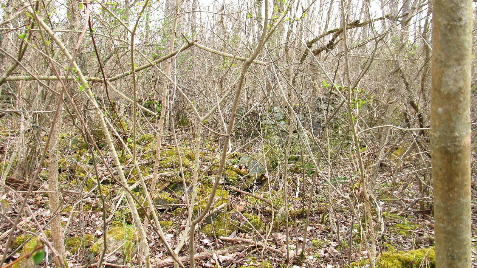
Some of the ruins were nothing but a few stones and some "dents" in the hillside. |

 |
Another foundation wall. |


 |
What's left of the town road. |

 |
Mary Jane and Mr. Standard walking the mean streets of Century. |

 |
A couple of the foundations leading up to the school. |


 |
The foundation of the school. If you know anybody looking for a pink toilet.... |

 |
The school foundation is pretty large. On the mine map there are rectangular structures shown in the area of the schoolhouse. We could not locate anything that these could have been. |


 |
The school appears to have had two chimneys. Our teacher, Mary Jane. |
 |
Mr. Standard doing whatever Mr. Standard does. |

 |
The road to the side of the school, leading up to the mine boss houses. |
 |
One of the mine boss houses. The area of these houses was marked private and there were many barking dogs. This is as close as we could get. |
 |
Back down to the company store. |
 |
The store lot. |
 |
We think this is an old vault. It's two stories tall with a door on either side. |
 |
The lower one had hinges on each side of the door. This leads to the two door vault theory. That and the thickness of the walls, which were over a foot thick. |
 |
The back side of the structure. With a door on the second floor. This was not our ladder. It was dry rotted and useless to us. |
 |
Wall behind the structure. |
 |
Inside the top room. |
 |
This is the main haulage area for the Century Mine. |
 |
The mostly sealed side portal. |

 |
The area of the fan portal. |
 |
The ground is really caving in here. We weren't stepping on it. |
 |
The lower section of Century Road. This is where we believe the railroad siding was located. The bank to the right of the road used to be coke ovens. |
 |
Mary Jane did some digging in the bank and started turning up coke oven bricks. |
 |
This is why you should always bring an archaeologist. |
 |
Large pieces of coke oven slag. |
 |
The walls in front of the coke ovens are still extant but the coke ovens themselves are not. |


 |
Walking out of the Century mine area and up the old Monongahela Railroad ROW. We found another mine entrance. I'm not sure what mine this from. It is not related to Century. The next mine up from Century was the Pike Mine. This may be related to that. |
 |
An old piece of railroad track that would have been used to support the mine entrance. |
 |
There was another stone arch railroad bridge here. We believe the area behind the grade was stripped and part of the railroad bed was removed. |
 |
The other side of where the bridge would have been. |
 |
A look inside the mine portal. |
 |
After this the railroad entered a deep cut. |
 |
At the end of the cut are these bridge abutments. We thought they might have been part of the West Penn Interurban trolley system. It turns out they were not. The working theory is that these were part of an old bridge for a road that got displaced when the railroad dug their cut. Just an idea. |
 |
The abutment on the other side. |
 |
A closeup of the stonework. |
 |
A look back down the cut. |
 |
After the cut is another bridge. |
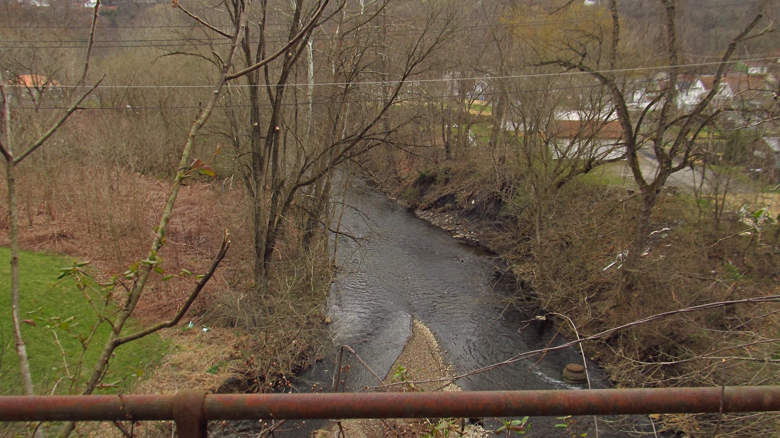 |
Looking off the bridge over toward the old coal patch town of Pike. The Pike Coke Works were also located here but the ovens are long gone. |
 |
A look at the bridge we just crossed. |
 |
Underneath the bridge. |
 |
Next to the bridge, we found this old hopper. |
 |
A look inside. |
 |
Sign on the side of the hopper. |
 |
1927 ad for the Erie Steel Construction Company's AccreMeter Plant. |

 |
Underneath the hopper. |


And that was the trip for today. We did find some really nice old bottles in Century. The find of the day for me was this old Jeannette Mason lid. Made by Jeannette Glass.
