Today I took a walk through my backyard and headed down the old Pennsylvania Railroad right of way. I have been doing a lot of work with the old mine maps working out the locations of the three Delmont Mines and today was a great day to document this. This particular section of the Turtle Creek Branch went into service on December 18, 1915. By 1917 this was a very busy railroad serving numerous coal mines between Trafford and Saltsburg. As the mines were worked out or closed the railroad saw less usage. In 1972 the entire branch east of Export filed for abandonment. Today the section from Delmont to Saltsburg is a heavily used rail trail. The section from Export to Trafford is scheduled to be open this year. The section in between, where I live, is connected to nothing. That's OK, I make my own trails. I do look forward to the day when I can just ride a rail trail to Saltsburg or Trafford without diving anywhere. The section behind my house is very rideable and I actually prefer it.
Anyway, starting off....
 |
This is directly behind my house. It's already a nice trail and is used a lot by walkers, hikers, bikers, people walking their dogs etc. |
 |
About 500 yards down you come to the first bridge. This is on top of it. |
 |
This bridge crosses Morosini Farm Road and was constructed in 1915. The Morosini farmland has been donated to Westmoreland Conservancy which will prevent it from ever being developed. More than 180 acres. |

 |
The other side of the bridge. |
 |
Pennsylvania Railroad stamped on the railings of the bridge. |
 |
Heading towards the mines! |
 |
This is the back side of Ringertown. Ringertown and Dunningtown (where we started) were coal company towns of the New York and Cleveland Gas Coal Company. Ringertown was named after Michael Ringer, the farmer whose land the town was built on and where the Delmont No's. 2 and 3 Mines were developed. Dunningtown was named after the Superintendent of the company, Hugh Dunning. |
 |
This is where it gets interesting. The rail grade goes straight. To the left is a trail that goes to the bottom of the hill and ties in with all the old mine trackage from mines. The tracks are gone but all of this is also used as a trail. We are going to the left. |

This is the mine map showing the No. 2 Mine.

If we superimpose the map over a satellite photo it gives us a general idea of the location.

This is the mine map showing the No. 2 Mine.

If we superimpose the map over a satellite photo it gives us a general idea of the location.
 |
This hillside to the left is the location of the No. 2 mine entrance. To the right is where the fan was located. No. 2 went in and immediately under the tracks. |
 |
Another view. The mine portal to the left and the fan straight on. |
 |
The portal is completely buried and ran over with 83 years worth of quad and dirt bike traffic. This is the only feature that is different from the rest of the landscape. Lose shale and rock that was probably used to filled in the fan portal. |
 |
If you look closely you can see these portals were sealed up inside with brick stoppings. It also shows a separate portal to the left of the main. |
 |
This is from 1916. You would think with steel and concrete something would be visible. It isn't. |
 |
The railroad grade is toward the top of the photo. |
 |
An unusual rock that is out of place with its surroundings. This could have been one of the boundary stones for the mine. The map shows plenty. I have one definite that I found. This one's a possibility. |
 |
Looking up the pipeline. The railroad grade is running across the top. |
Heading toward the No. 3 Mine. This requires a lot of imagination. This area has been completely redeveloped with some kind of condo thing. Some details remain though. The terrain around the rail grades hasn't changed all that much.

This is off of the No. 3 map. This is a connection to the other mine track coming back from No. 2, all heading to No. 1 at White Valley. The only tipple was located at White Valley. All of the coal and waste material was sent there. The shop that is on the map is long gone and not a trace exists. What remains here is this little bottleneck. There's one of the tributaries that form Turtle Creek located here and the culvert still exists where all of this connects.

The No. 3 entrance is in the middle of somebody's living room. Those cracks in your walls aren't some weird coincidence!

This is off of the No. 3 map. This is a connection to the other mine track coming back from No. 2, all heading to No. 1 at White Valley. The only tipple was located at White Valley. All of the coal and waste material was sent there. The shop that is on the map is long gone and not a trace exists. What remains here is this little bottleneck. There's one of the tributaries that form Turtle Creek located here and the culvert still exists where all of this connects.

The No. 3 entrance is in the middle of somebody's living room. Those cracks in your walls aren't some weird coincidence!
 |
This is looking at the condo's through the bottleneck. There's a trail here too. |
 |
The No. 3 portal is about where the 3'rd house is on the right. I'm sure a lot of dirt was moved when these were constructed so it's tough to figure out how this land looked before. I remember it before these buildings went in but I wasn't paying attention. |
 |
Looking back through the bottleneck. There's a culvert running beneath it. |
 |
This is the culvert. It definitely fits in with the time period of the mines. |
 |
The other side. How hard would it have been to carve the date in here when they were being built? Extremely selfish. |
 |
OK. Moving on. The railroad grade is toward the middle of the photo. |
 |
Mine trackage. |
 |
This is the next thing that completely messed everything up. When they put all these houses in at the top of the hill they completely pulverized the rail grades by putting in this road. Of course it was on the only curve in the railroad so there's no just walking across and reconnecting it. To make matters worse, they dug this massive hole for the water runoff which also messed up the railroad grade. Anyway, we'll live. I guess. |
 |
This old driveway is built on the grade for the mine tracks. |
 |
The old house up the driveway is all boarded up now. The last time I walked this there was somebody living there. Anyway, the road is all falling apart now and the holes are all full of coal. |
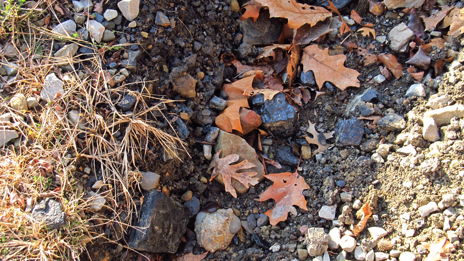 |
Old coal. |
 |
It's also about here that the mine track passed over the railroad track. From this point on the mine track is to the north of the railroad track. |
 |
It crossed over somewhere around here. My grades are all messed up from the new construction. |
 |
This is the northeastern corner of the big drainage hole. The beginning of the curve started on the southwestern corner. |
 |
The big wastewater drainage hole that destroyed the railroad grade. Also notice Cappa's Beer Distributor listed as "Garage". |
 |
Looking across where the railroad grade just drops into a hole. |
 |
Different map but back to the boundary stones. This stone is marked on the map. |
 |
Here's the big rock that doesn't fit in. It's just an idea. |
 |
Mine track to the right. Railroad grade to the left. |
 |
Another shot of where the railroad grade drops off into the big ditch. |
 |
This is all pretty thick back here. I spent a good part of the previous day back here cutting myself a path. |
 |
A clear section of railroad grade. |

 |
Looking up toward the mine grade. It becomes much more defined a little further down. |
 |
The mine grade is toward the center of the photo. |
 |
There are still some sections with intact railroad ties. |
 |
Mine grade really standing out here. |
 |
Looking down the hill. The mine grade is first, followed by the railroad grade (with my red "collection" bucket) and Old William Penn Highway after that. The railroad grade is in a deep cut at this point. |
 |
Looking down the mine track grade. |
 |
Back on railroad grade. A really nice section of railroad ties. |
 |
Thick section of railroad grade. |
 |
A bunch of old broken milk jugs. I couldn't find an intact one. Nothing here made it in the collection bucket. |
 |
Looking up out of the cut at the old farm silo along Old Wm. Penn. Hwy. near the baseball field by the site of the old White Valley school. |
 |
A nice section of railroad grade. |

 |
Toward the center of the photo is the mine track grade. |
 |
This is up on the mine track grade. It's a lot nicer up here. |
 |
Here's where we're at and what we're looking for. Right now we are on the mine track looking for the split where it turns up. This track heads up toward White Valley Park. The bottom split goes down and travels over modern day Ball Park Ct., cuts up behind the old shop building and splits again. The top section travels across the hill to the slate dump behind the power house (Myers Bus garage), the bottom section goes into the tipple which was located next to the power house. The top split travels further up and goes along modern day Ketchy Ct. and basically does the same thing. |
 |
Section of the map showing the mess of mine track that pretty much goes everywhere. |
 |
Track superimposed over the street map. |
 |
So that's what we're looking for. This is heading up toward White Valley Park. This is after leaving the visible grade. Around here the track went over toward the tipple. There are no distinct visible features of the definite route. |

 |
Below that is the eastern section of the rail yard. I am cutting through here and trying again from the top and coming in from the other direction. |
 |
This 1939 aerial shows the area pretty well. You can see how the mine tracks wrap around the hillside. This was taken six years after the mine was closed and the tipple and rail yard are no longer here. |
 |
Meanwhile, I'm still in the rail yard. |
 |
Walking out. |
 |
Here is the old power house. |
 |
Up on the hill is the old machine shop. It has been converted into a residence but the misplaced bricks around the windows and doors give it away. |
 |
The original slope entrance for the No. 1 Mine was located in this hillside. |
 |
Another shot of the power house. |
 |
Other side of the machine shop. |
 |
Looking up Ball Park Ct. This is where the old mine tracks came in off the hill. |
 |
They went in up through here and around the machine shop. |
 |
They are currently reclaiming the old mine dump. Apparently it started falling down onto adjacent properties. |
 |
The old mine tracks went down to the right. I got sidetracked and went up to look at the reclamation. |
 |
Big machines. |

 |
This is kind of sad. This is the giant pole that sat on top of the mountain. It was up there forever. |
 |
A photo I took back in June. This is the giant pole and the star that used to always be lit up at Christmas. |
 |
Sidetracked again.... Here's some more photo's from June. |
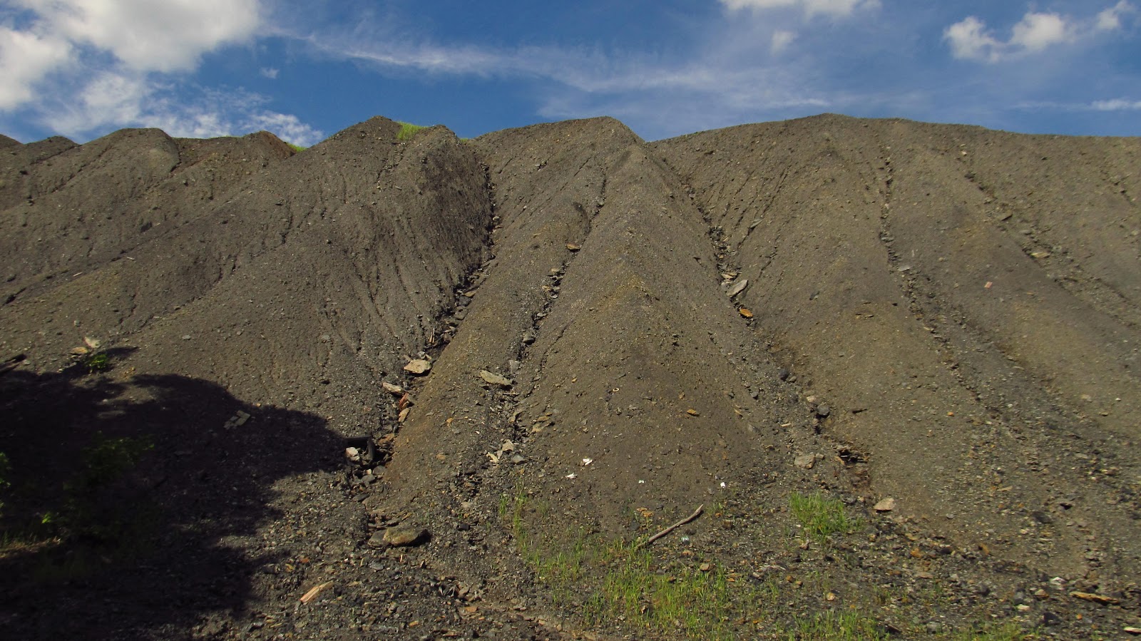 |
Is it odd to get sentimental over a slate dump? |

 |
Now you have to got to Yukon to see a baseball field in from of a Boney Pile. Doesn't get more Appalachian than this. |
 |
I was hoping some of this mine track got knocked lose. I couldn't find it today. |


 |
Looking down at the park buildings. Man, I'm ready for summer again. |
 |
Looking over at White Valley. |
 |
Back to reality... This is the back way in trying to find the way the mine track came in. It's the same place I was at before so it came in through here somewhere but it didn't leave any marks. |
 |
Walking back to the railroad grade. This is the other 1915 bridge. |

 |
On top of the bridge. |
 |
Back in the cut. Beginning the trek back to Dunningtown. |
 |
One last shot of the hill below the mine grade. |
 |
Clipping from the opening of the mines. Indiana Democrat February 22, 1905 |
 |
Clipping from the closing of the mines. Monessen Daily Independent March 28, 1933 |


