Storage Bin and Washery
The area highlighted in red on this map is the area covered in this post. It stretches from Kiley Drive east of Crabtree to Police Road. I couldn't go any further because of a house that was built on the old railway on the other side of Police Road.
And here are the photos.
The main set of coke ovens.
They're not in very good shape.
Heading down the old railway.
This is an interesting little arch thing sitting in front of the ovens.
The massive puddle in the middle of the railway. I cut to the right to get around it and found this other set of ovens.
This is the only intact oven I found. It's strange that it's even here.
This is inside of it. Some kind of strange barrel contraption with an exhaust. No idea what it is.
Another nice puddle I had to get around. Thankfully this was the last one.
Headed down the line.
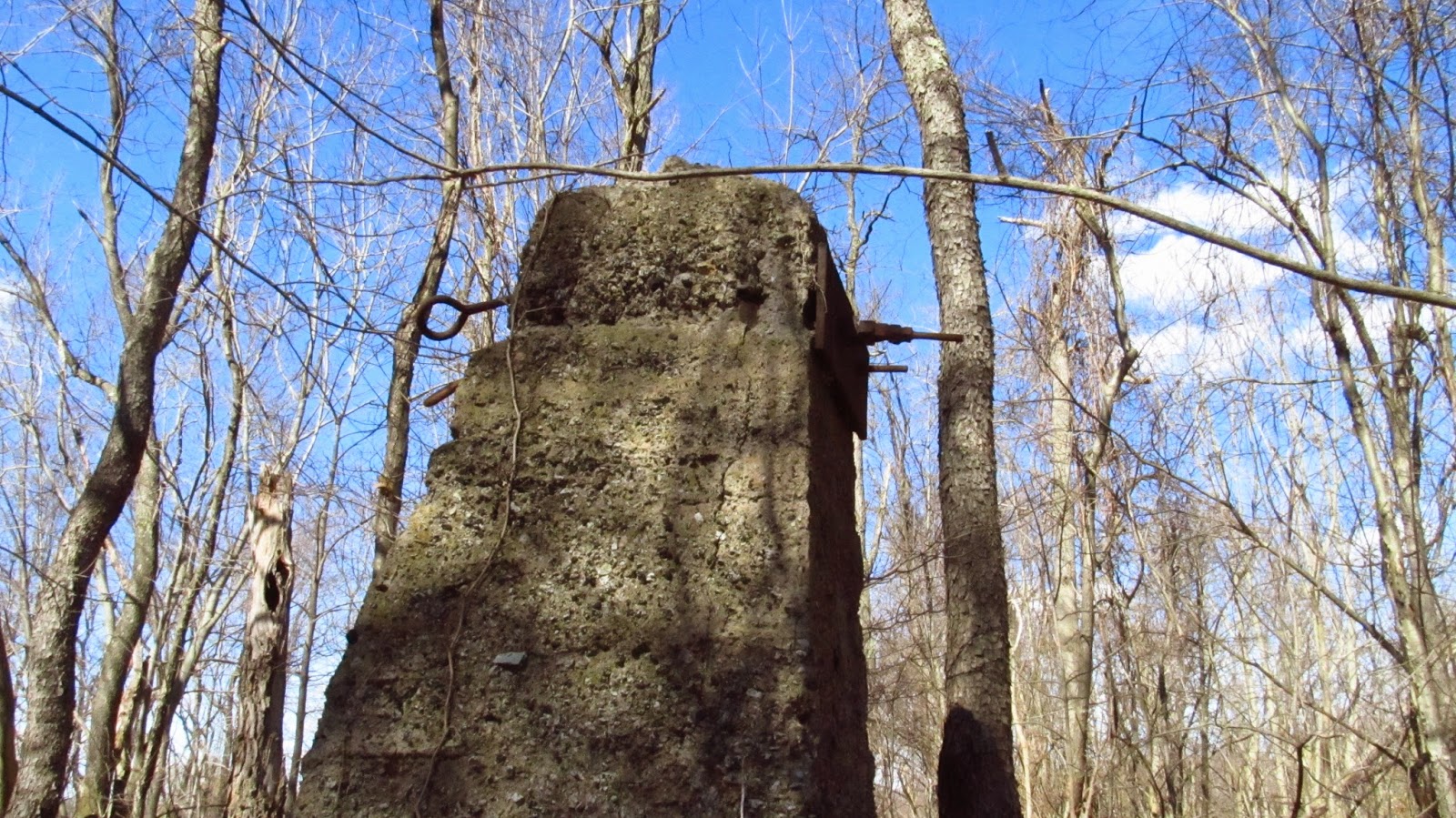
These were to the left of the railway on the other side of a flooded area. They look like they could be piers or abutments for possibly a tipple.
This looks like it could have been a siding at one time. It goes down to where I saw the possible tipple piers.
This is a bridge from an old road. The road can be seen on the old map of the area. Now it serves as a farm bridge. The cows came across it later.
The cows hanging out at the farm.
Another view of the bridge.
Another puddle but easy to cross. There is some sort of piping system running along this small area.
And on down the line.
This is as far as I could go. The house on the other side of Police Road.
The cows came across the bridge and were staring at me on my way back.
The following was sent to me by Bill Noel of Fairfax County, VA about his family history surrounding the Donohoe Mine and Coke Works.
|


