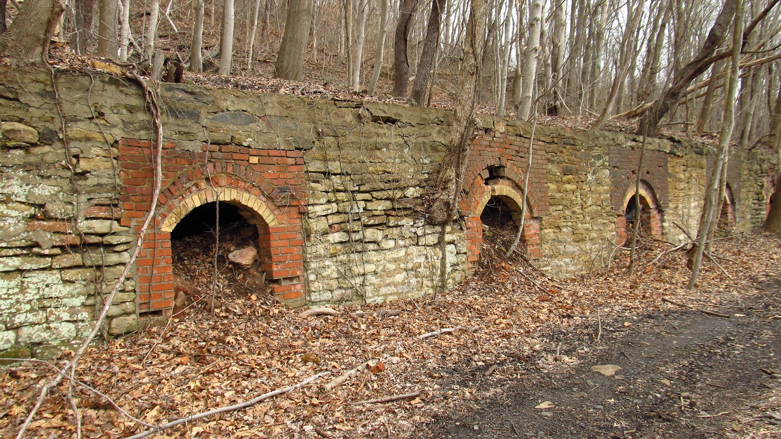
Trying to find the name of these ovens is excruciating. I'm pretty sure these ovens were bought, sold, and renamed quite a few times. Another difficulty is the fact that the town changed its name. The only mine map I can find of this area is not dated but it's listed as belonging to the Fancy Hill Coal Company. The earliest mention I can find of the Fancy Hill Coke Works is from 1916. In 1906 there is an Adah Coal and Coke Company operating in the area with 40 ovens. That fits the description pretty well. In 1924 we find the Marion Coke Works with 60 ovens which is also easily fathomable. To throw another wrench into the works, there is a Marion Coke Works dating from 1901 at the site. No other information is offered about the 1901, it's just on a list and it's not an official document. If I find any more specific information I will update this. I could call them Fancy Adah Marion but for now we'll call them the coke ovens at Lake Lynn.
 | ||
| This is a list of coke works built after 1901 from the book "Wealth, Waste and Alienation" by Kenneth Warren. It's not an official document but most of the research that Warren has done is pretty accurate. The name "Marion" and the location is too much to be coincidental in my opinion. What irks me is that Marion doesn't pop up again until 1924. |
 |
| Now we get into the name changes of the town itself. In this 1902 topographic map it is listed as "Cheathaven". |
 |
| However, by 1931 it is Lake Lynn. It's the same place. |
 |
| This is a section of the undated Fancy Hill mine map. You'll notice there are no ovens shown on this map. This map could really use a date.... Anyway, notice the tipple and the coaling station. Evidence of both these structures exist today in a big way. Today while I was out there I was wondering why it seemed like there were two tipples. Now after looking at the map, it makes sense. |
So here's what we got:
 |
| Regardless of their name, they are an amazing set of ovens. |

 |
| Drippy oven catching some sort of runoff. Maybe a spring up above? Regardless it keeps the oven so clean. |
 |
| This is the worst of the lot. Hard to say what happened here. |

 |
| Another drippy oven. |
 |
| Famous Garfield tile block. |

 |
| Strange stages of decay. Some of this brick looks like it was laid yesterday and some of it is falling apart. |
 |
| Standing on the coke yard. Siding to the right, railroad bed beyond that and the Cheat River at the far right. |


 |
| OK. These are the supports for where the tipple would have been. Further up we'll see the walls for the coaling station. |
 |
| According to the map the tipple was fed from a large conveyor that went far up the hill. We'll climb up there in a bit. |
 |
| A wall on the end of the bank. The space between the banks is where the tipple was located. |
 |
| A very interesting pipe running behind the retaining wall of the oven. |
 |
| Different brickwork than the rest. |
 |
| Moving along. |
 |
| Yellow brick! |

 |
| This oven wall collapsed exposing the beehive. |
 |
| Another separation in the bank. Here is the location of the coaling station. |

 |
| Wall of the coaling station and the end cap of the oven bank. |


 |
| Up on top the ovens. Deer skull? |
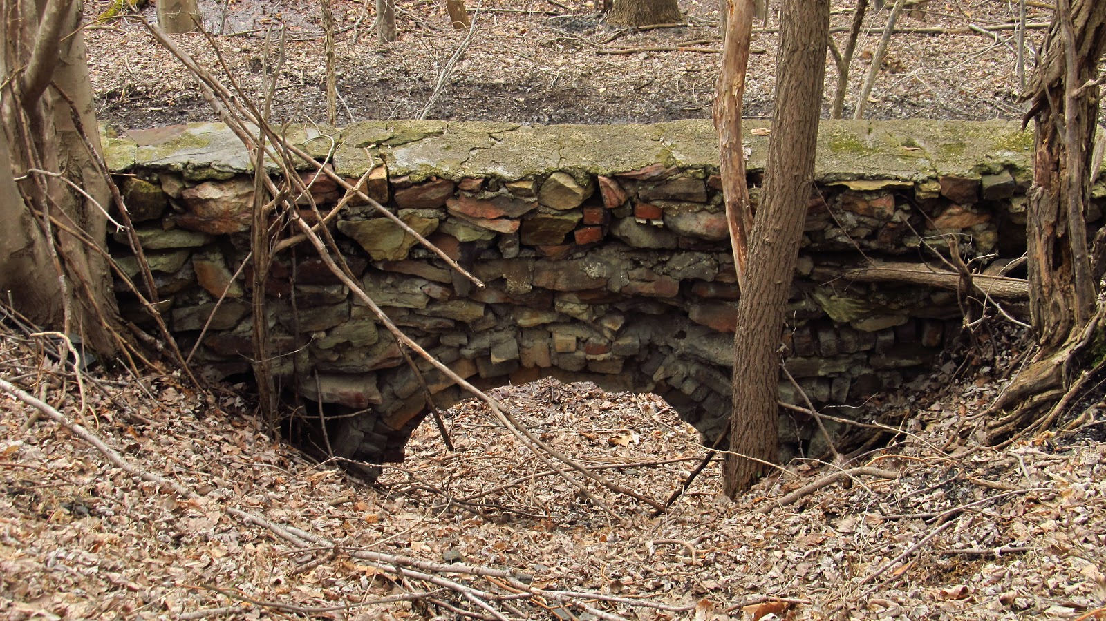 |
| The back of one of the collapsed oven walls. The fronts of the ovens appear to be such neat masonry work but the backs show the real story. Any loose stone or brick you could get ahold of. |
 |
| Back to that coaling station. This is the wall behind the ovens. |
 |
| Beyond that and further up the hill are piers from the coaling station. |
 |
| Looking down from those piers. |
 |
| The top of the ovens where the larry track would have been. |
 |
| Down below again. The ruins of the tipple. |
 |
| We're going to follow the old railroad a little bit. Heading towards Point Marion. |
 |
| Another look at the ovens. |
 |
| Further down is this wooden box culvert that goes underneath the rail bed. |
 |
| Beyond that we find the slate dump. |
 |
| Behind it are piers leading up the hill. |
 |
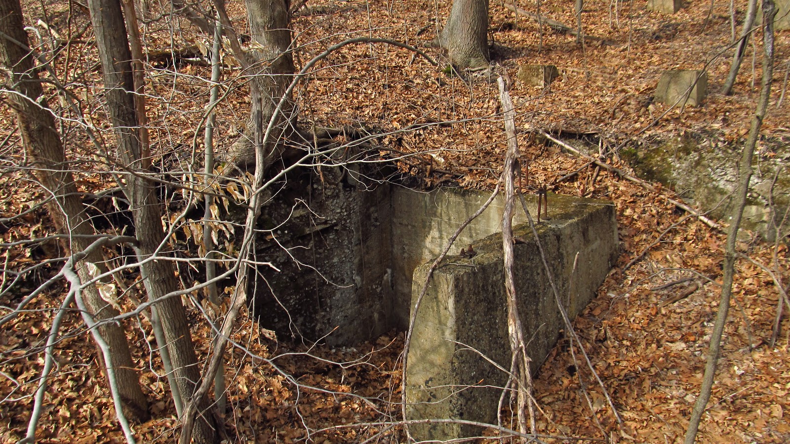
| A lot of piers leading up the hill. |
 |
| Off to the side. Ruins of some sort of structure. The map doesn't go down this far. |
 |
| Of course I had to climb the hill. |
 |
| Beyond this, down in the valley are some more mine dumps. |
 |
| This is as far as I went. |
 |
| Looking down toward the river. |
 |
| And finally a look at the Lake Lynn hydroelectric dam just a little ways up river. |
 |
| An awesome old photo from the West Virginia Regional History Center. |
