Showing posts with label Mount Pleasant PA. Show all posts

Sunday, December 10, 2017

Maple Glen Dairy Farm - Mt. Pleasant

Yesterday afternoon Marybeth and I went to walk around the old Maple Glen Dairy Farm. I don't know much about this place. I've found mentions of it in old newspapers from the 1940's and 1950's. It's definitely different from researching mines and coke plants. I found that it was a working farm up into the 1960's and was operated by the Glick Brothers. They did home deliveries of milk. According to the Images Of America- Mount Pleasant Borough (2014, Friends Of The Mount Pleasant Public Library) book, the Glick Brothers owned a meatpacking plant on Rt. 31 west of town and their three farms bordering the town provided doorstep delivery of milk from the 1930's through the 1960's. 


I remember going to a dairy farm with my grandfather when I was a kid. It was somewhere in Mt. Pleasant. The barn here reminded me of it, but I would think the layout is similar to most dairy farms. 


Some of the milk caps I collected.


A Maple Glen milk bottle I found on Etsy.


Walking back to the farm.


Marybeth. One of my favorite people on the planet.


This twin silo is what caught my attention before anything else. I've never seen one like it.


This house is amazing.


One of the farm buildings.


Inside of this building.


A brick grill outside.


The crooked house.


Shelves inside the crooked house. We laughed because this was the first time we could explore an old house without even stepping inside.


Crooked house. Interior from the exterior.


Basement of the crooked house.


Other side of the crooked house.


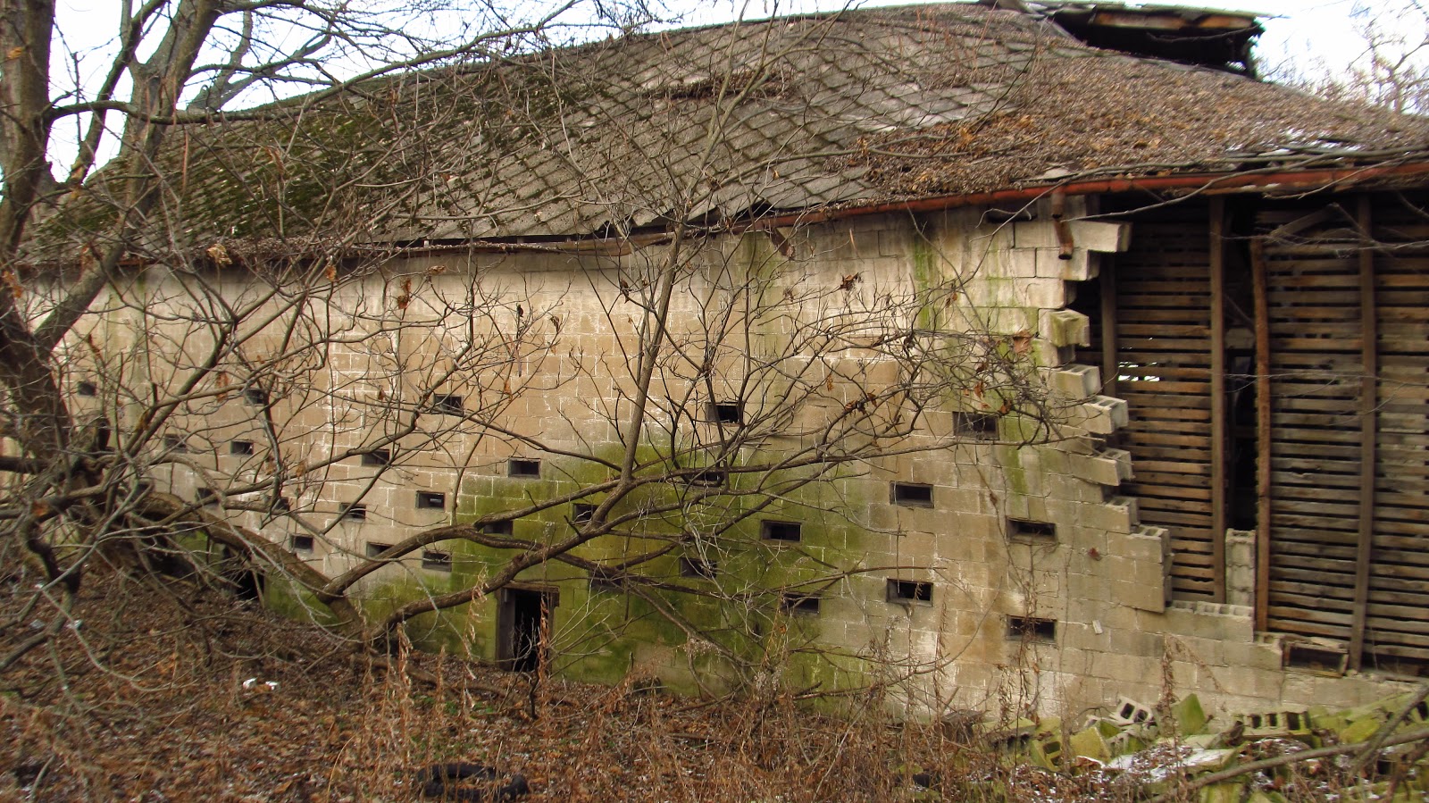
One of the barns.


Inside the barn.


Collapsed wall.


Corn crib!


Another barn.


Vent falling victim to time and gravity.


A collapsed farm building.


Inside of the other barn.


Old boiler in one of the buildings. A cat lived in this building and wasn't a big fan of us being there.


Inside the cat's house.


Bottom of the silo's.


Looking up one of the silos.


Sunday, September 14, 2014

Sewickley Branch Of The Pennsylvania Railroad-Armbrust to Mammoth

Today I followed the old Sewickley Branch from Armbrust to Mammoth. I started in Youngwood on the existing Five Star Rail Trail, followed it to the end, jumped a guardrail and kept going. 


The Sewickley Branch was basically a rail system of its own. Six branches off the main branch served the majority of major mines and coke works in Mt. Pleasant and Unity Townships. It must have been a seriously busy line. Its only connection to a major line was The Pennsylvania Railroads SWPA Division at Youngwood.  I'm having a difficult time finding all the dates for all the branches but I'm sure they would coincide with the openings of the mines. The earliest mention of it I can find is from the 1888 Official Railway Guide: North American Freight Service Edition. It lists it as going from Youngwood to Trauger for a distance of 6.9 miles. On the 1902 topographic maps the whole system is featured.


This is the end of the Five Star Trail that runs from Lynch Field in Greensburg to Armbrust.

Right here there is a guardrail to left you have to jump over and ride along Armbrust Road, cross 819 and catch the old railway again off Armbrust Brinkerton Road.

Before getting to 819 it looks like the railway crossed Sewickley Creek a second time here.


After getting on Armbrust Brinkerton Road the railway goes through the nursery on the right.

After getting through the nursery you come to the first of the branches. On the right is the Boyer Run branch which went down through at least three mines and coke plants before reaching Hecla. After Hecla it went down to Carpentertown and in the 1950's continued even further to the other Carpentertown mines southeast of the village. The bridge crossing 981 can still be seen at Carpentertown.
This is the bridge at the Boyer Run branch crossing Sewickley Creek. It's a bit sketchy. I've walked across it before but today it was all overgrown and full of holes. A bad combination.

A view of the bridge from the main Sewickley Branch.

Continuing down the line. On the left is a road up to a farm. It's not one of the branches.

The first road crossing is Udell Road.

Continuing on after Udell Road.

Here we come to the Hester Coke Works which are completely overgrown this time of year. They are actually in pretty good condition when you can see them.

I covered these ovens in an earlier post that can be viewed here:
http://coalandcoke.blogspot.com/2013/01/brinkerton-coke-works.html

After the coke ovens we come across a passive acid mine drainage treatment area. The Sewickley Creek Watershed Association operates these ponds that treat the drainage from the nearby abandoned Brinkerton Mine.

Another view of the AMD treatment ponds.

After this we come to Brinkerton Ext. (road).

After Brinkerton Ext. we come to the next branch. On the left (somewhere) is the Brinker Run Branch which ran up to Mutual.

This whole area is a swamp.

Continuing on through the swamp.


The next road crossing is Mt. Pleasant Road at Norvelt.

We continue on across the road over to the grassy area.

Next we come to the another branch. This is a big one. The Bessemer Branch goes up through United and branches again near Fairgrounds Road, where one branch went to Trauger and the other went up toward Humphreys where it branched again. One branch continued up to Humphreys, the other (Marguerite Branch) went up through Pleasant Unity and ended at Marguerite.

Heading up to United on the Bessemer Branch.


It comes out on United Road near United Way.

This sign blocks the right of way. Beyond it the railway is all overgrown. I turned around and headed back to the main Sewickley Branch.

The first thing we come across on our quest to Mammoth is this fun little bridge.

No problem getting across that. Moving on.

Next is 981 at Calumet. The buildings across the street are in the way. Going in between the red and blue buildings gets you back on your merry way.

Continuing on.

At Holly Place Road we come to an impenetrable fortress. The only way to continue on to Mammoth is to make a left on Holly Place and make a right on County Road. Mammoth is 1/2 mile down the road. The idea was to cut through the old Mammoth Mines and work my way back.


After turning down Apollo Road in Mammoth I went down to the current Mt. Pleasant Township Municipal Buildings and started working my way back. More about Mammoth can be seen here:
http://coalandcoke.blogspot.com/2014/07/mammoth-no-2-and-standard-shaft.html

There are two ways back from here. The lower trail which takes you through a corn field and back onto County Road is the wrong one. The way to go is up past the slope portal entrance and over the hill.

This goes back to the abandoned Mammoth No. 1 mine site. I was never able to connect to the railway I was looking for. Like every abandoned mine site there are trails going off in every direction.

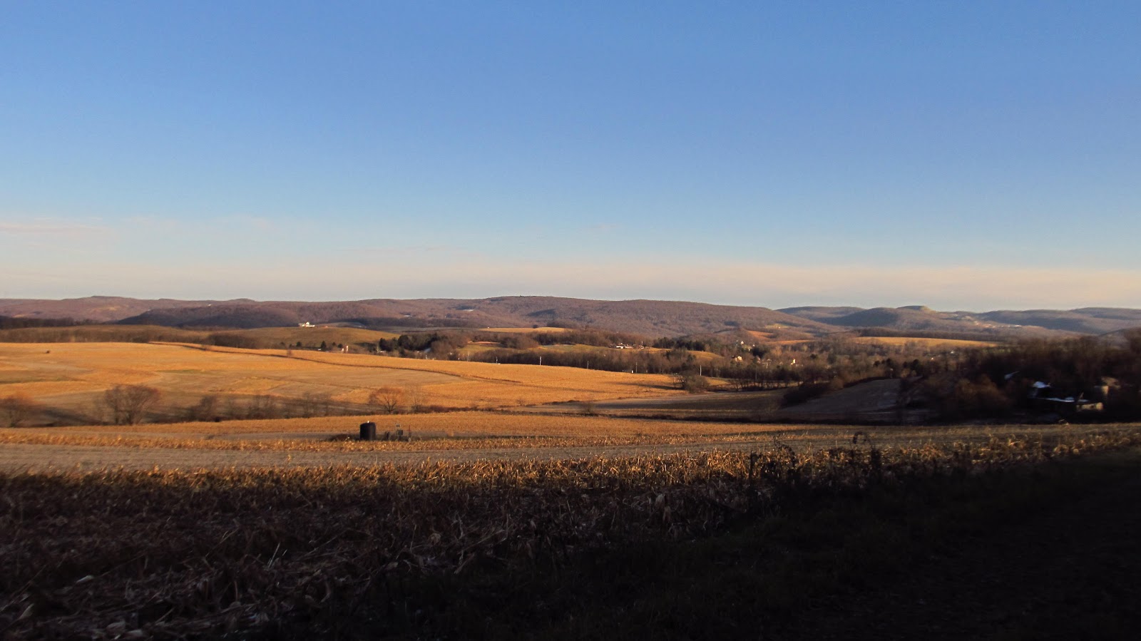
There was a lot of nice post-summer early-fall Pennsylvania scenery though.


Finally we reach the massive slate dump at Mammoth No. 1.

A piece of old steel rail sticking out of the slate dump.

More slate dump.

A distant church from on top of the slate dump.

More rail laying scattered about.

Slate dump. Utility pole. Clouds.

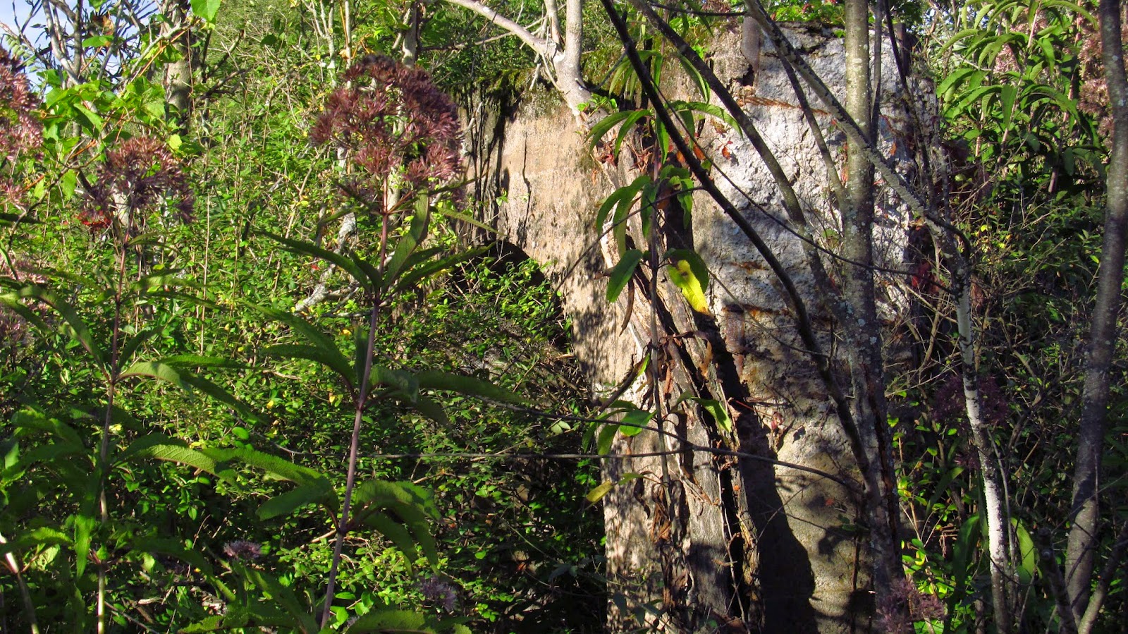
This is one of the remaining structures at the mine site. It's a giant arch. I'm not sure what its purpose was.

A couple walls from an old structure.