Today I headed up to Venango County to ride the Allegheny River Trail. This section was built by The Allegheny Valley Railroad in 1867 to reach the oil boom that was underway in Oil City and the surrounding areas. The Allegheny Valley Railroad officially organized February 12, 1852 and by January 1856 track had been laid from Pittsburgh to Kittanning. At this point the company had run out of capital. After the oil boom jump started interest again, the railroad began laying track northward in 1863. By December 1867 they had reached Oil City.
By 1901 the railway was absorbed by The Pennsylvania Railroad. A 1911 topographic map lists this section as the Buffalo And Allegheny Valley Division Of The Pennsylvania Railroad. In 1917 it's called the Northern Division Of The Pennsylvania Railroad and in 1941 the Allegheny Branch Of The Pennsylvania Railroad. As far as I can find it remained under this name until The Pennsylvania Railroad dissolved. After that it was a secondary Conrail track until it was abandoned in 1984.
In 1913 The Pennsylvania Railroad did some major realignment of the tracks. Three tunnels were added, eliminating 14 miles and removing 3 major river curves. The tunnels were completed in 1916 and this alignment lasted until abandonment. One of these tunnels is located further south in East Brady and I didn't get to that one. The two tunnels I rode through today are some very long railroad tunnels. The Woodhill (Rockland) Tunnel is 2,868 feet long. The Kennerdell Tunnel is the longest of the three at 3,350 feet. Both of these tunnels curve shortly after entering from the east and straighten out the rest of the way. They are very dark and a flashlight is absolutely necessary. The trail installed reflectors in the middle of the tunnels and it really helps you navigate but it's pitch black and a weak flashlight is not going to do much for you. These tunnels are amazing though! Incredible feats of engineering.
 |
| I love the northern Allegheny. I was surprised by how many islands the river has up here. |
 |
| The first thing on the right after you get through the old refinery ruins in Emlonton is this. It looks like it could have been an old quarry. |
 |
| There are so many sidings or branches off the main line through here. I found a handful of these old culverts. |

 |
| This one was built in 1917 so it was shortly after the realignment. |
 |
| This entire trail is paved the whole way to Franklin. |
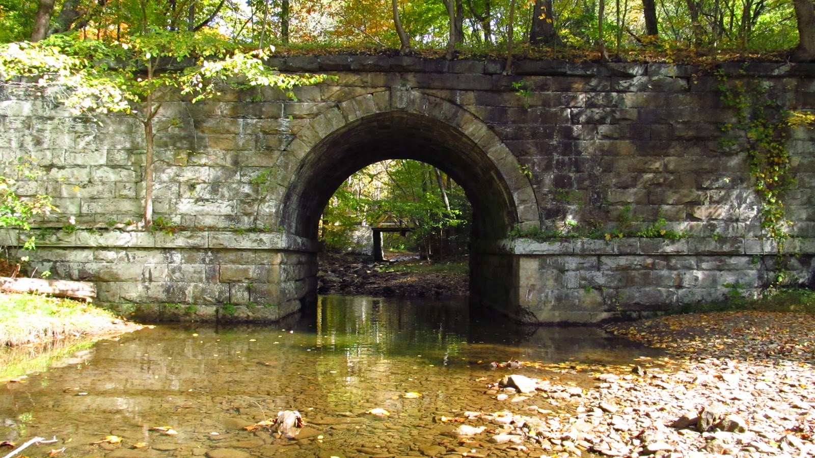 |
| This bridge is part of the original alignment built by The Allegheny Valley Railroad at Dotters Eddy. This is a really nice area. |
 |
| A small road bridge is in the distance. |
 |
| This is the bridge the trail goes over and part of the PRR realignment. |

 |
| The top of the original alignment bridge. |
 |
| Looking through the old bridge to the "new" bridge. |

 |
| Heading further up river. Up around this bend is Woodhill/Rockland Tunnel. |
 | |
| Approaching the first tunnel heading north. This is the Woodhill/Rockland Tunnel. |

 | |
| Dated 1915. |
 |
| Heading inside. |
 |
| Like all long train tunnels, this one has many "manhole" cut outs on the side. |
 |
| Looking back at the eastern portal. |
 |
| This is how far the western end is. You can see the reflectors on the floor. This was lit up with a small flashlight I keep on my bike. Like I said, you need a strong light. |
 |
| The western portal. |
 |
| This is right after the Rockland Tunnel on the left. It seems to be part of the original alignment that followed the river down through Rockland Station. From what I've read this section was still used after the 1916 alignment for passenger service. |
 |
| The old alignment goes right through this guys yard. It must be nice to have an 1867 railroad bridge in your yard. |
 |
| An old PRR signal tower. |
 |
| Made by Union Switch and Signal of Swissvale. |
 |
| Another bridge on the original alignment. |
 |
| There is considerable distance between these two tunnels. It doesn't look like it on the map but you ride for a while. This is the eastern approach of the Kennerdell Tunnel. |
 |
| Small waterfall. It's probably due to the cut approaching the tunnel though. |
 |
| The Kennerdell Tunnel. 3,350 feet long. You can see the initial curve right after going in. |
 |
| Looking back east. |
 |
| One of the Kennerdell manholes. |
 |
| Looking at the western portal and the mountain it went through. |
 |
| Western portal. |
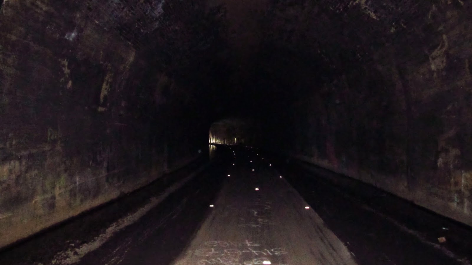 |
| Looking east toward the curve. Notice the reflectors. |
 |
| Looking out the eastern portal. |
 |
| Another bridge on the original alignment at Kennerdell. |
 |
| Some more river photos. |


 |
| The 1911 topographic map showing the original alignment at Kennerdell. |
 |
| The 1911 topographic map showing the original alignment at Rockland. |
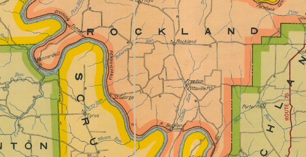 |
| The 1917 Venango County map showing the new alignment. Notice how the old alignment is still being used at Kennerdell. |
