Today was a great day to rent a kayak, get out on the river, and see what we could find. This was a very busy section of the river as far as coal mining and I always figured there would be a lot to discover from the river itself. I was right.
We started off at Whitsett, where I had explored the Anica Coke Works late last year.
 |
In the river off of Whitsett. |
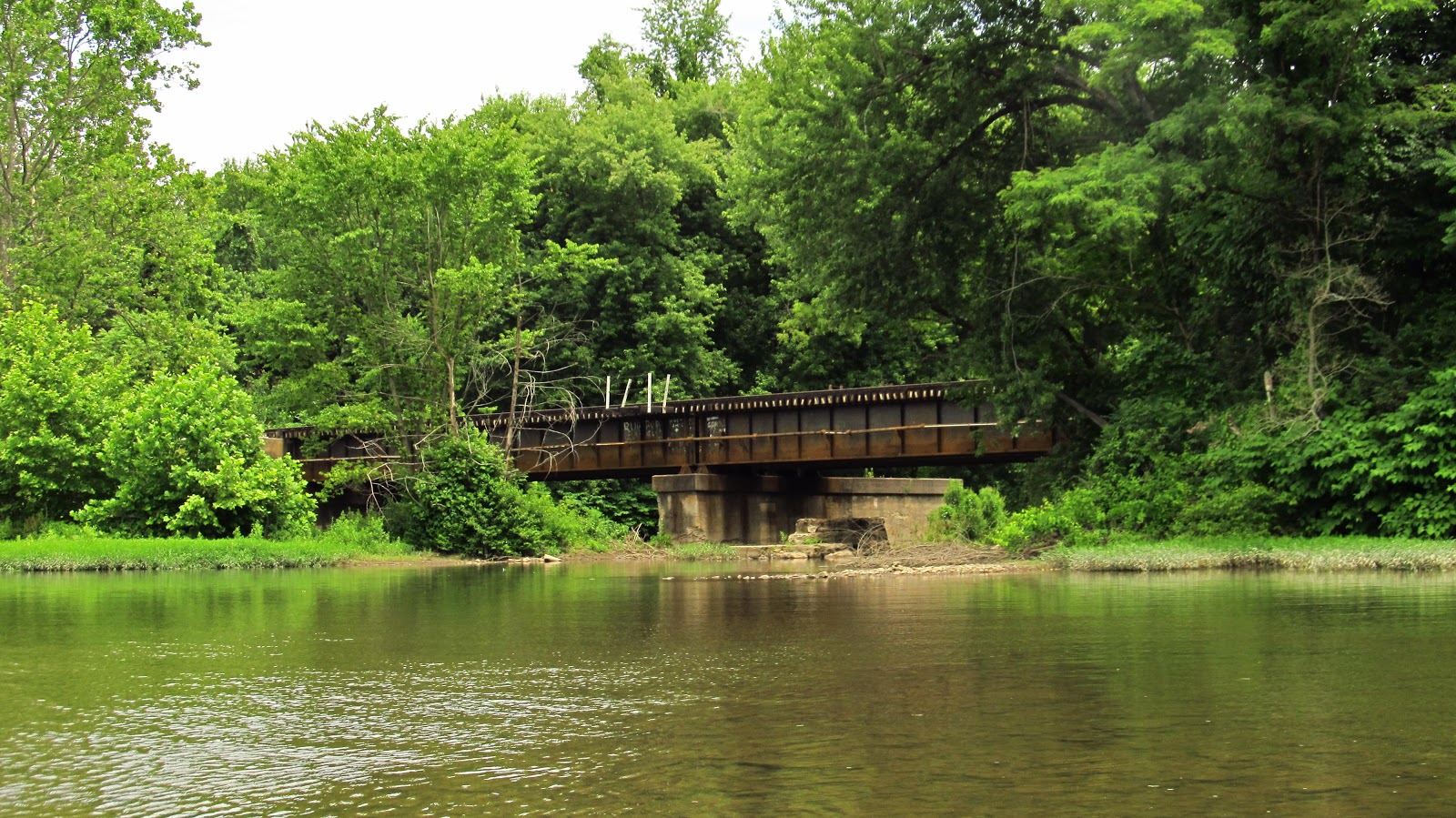
Soon we were coming up to the current Wheeling and Lake Erie Railroad bridge.
 |
Approaching the W&LE RR bridge. |

Immediately after the bridge is the first of today's industrial artifacts.


I couldn't find anything on the mine maps identifying this structure. It's very similar to structures located across the river at the old ruins of the Banning No. 1 mine. I did find it on the 1939 aerial photo of the area. It was definitely part of something larger as the structure did cross the tracks.
 |
The 1939 aerial showing the structure as well as the mine across the river. |
 |
The river side of the Banning No. 1 coal storage silo. Also a couple new friends I made today!! |

Heading downriver. Approaching the confluence of Jacobs Creek and the Youghiogheny.

 |
The CSX Railroad bridge crossing the mouth of Jacobs Creek. |

 |
This is heading behind a small island on the river. It was pretty shallow but I managed to get through. There are a handful of these along the river. |
 |
Heading out of there we see the slate dump for the Banning mine across the river. |

Next, heading down river we are approaching the town of Van Meter. On December 19, 1907, the worst mining disaster in the history of Pennsylvania occurred here. The Darr Mine explosion killed at least 239 men and boys. One of the most detailed reports available online can be found here. Many of the miners lived in the town of Jacobs Creek, located across the river from Van Meter. The miners traveled to work on the other side of the river via a sky ferry, a basket guided across the river by a steel cable, like a cable car.
 |
A portion of the Darr Mine map showing the ferry cable. |
 |
An old photo showing the sky ferry. (Photo courtesy of http://patheoldminer.rootsweb.ancestry.com/darr.html ) |
The cable is still there. Everything else relating to the Darr is gone except for a couple foundations and the location of the main portal (which was recently resealed). I thought initially they were power or telephone cables but after looking further into it, the cables are simply stretched between two poles and connect to nothing. They are located precisely where the mine map has them placed.
 |
The cables. |


 |
This is the pole on the Jacobs Creek side. As you can see, the cables are just secured into the ground. |

 |
Van Meter. |
Next up is Smithton.
 |
Slightly upriver from Smithton. Between Jacobs Creek Road and the railroad tracks are the coke ovens that I haven't been able to name. |
 |
The Rt. 981 bridge over the river. I wanted to stop and look at the piers but the water moves pretty fast under the bridge.Up next is the Interstate 70 bridge. |
Beyond this was Smithton Beach which was very jumping today. A little too jumping. I wasn't stopping for photos. After this was Fitz Henry, where I was hoping to see something but didn't. Following Fitz Henry was Cedar Creek County Park on the left and then Reduction.
 |
CSX train going through Fitz Henry. |
In Reduction is a very interesting structure. It looks like a pump station building to me but that could easily be wrong. It doesn't show up on the mine maps of the Reduction Mine but it is located right at the point on the map that shows the Flinn Garbage Plant right at the Reduction Station platform. I can find nothing on the Flinn Garbage Plant. I don't know if the garbage plant is just printed on the old mine map where the mine buildings used to be or if it's its own thing. Regardless it's a very interesting structure.
 |
The mine map superimposed over a satellite view. The building along the river is shown at the top left. As you can see, it is not listed on the map.And here is the building: This is the side of the building facing the river.  The right side.  The left side with hardware on the doorway.  There was no way for me to climb inside the building. An old tie plate laying outside of the building.  |


