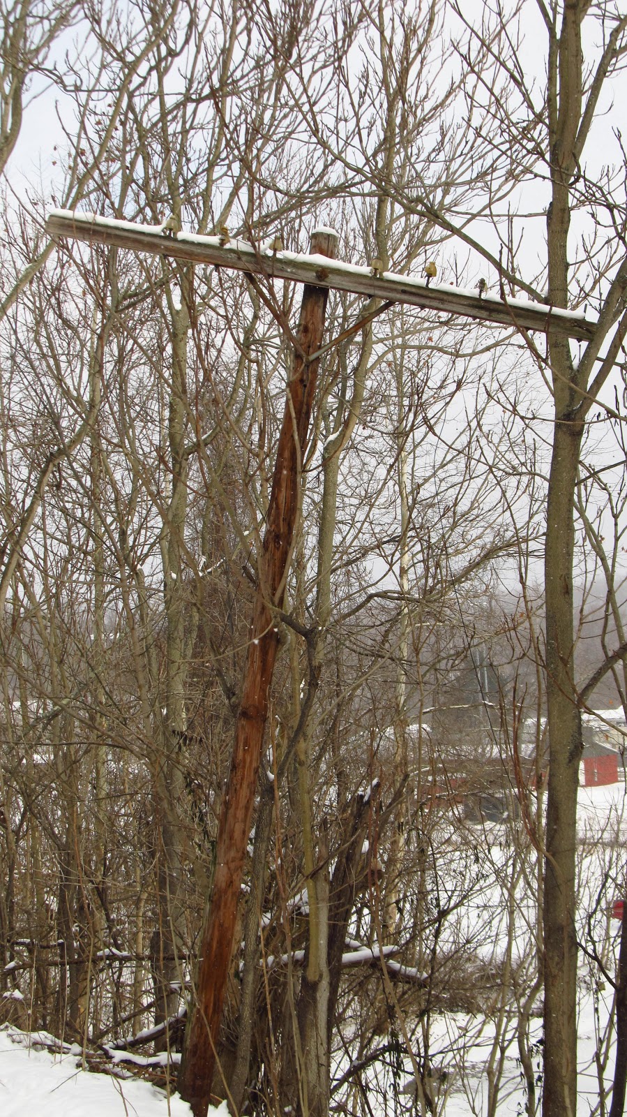
This is something I started working on last weekend. When I got home and researched it some more I realized there was something I missed. I got some people together and went back out today. This section of railway is a little over a mile long. In this small section there were 5 tipples and sidings.
From west to east:
1. Slickville Tipple circa 1916
2. Irwin Gas No. 3 circa 1917/1918
3. Irwin Gas No. 4 listed as a new mine in 1919
4. Louise No. 1 listed as a new mine in 1919
5. Louise No. 2 earliest date I can find is 1923

The Slickville Mines are going to be a separate post altogether. There are five mines all leading to one tipple and it as all very spread out. Slickville is a whole study on its own.
Today we're starting with the Irwin Gas No. 3 Mine. The Irwin Gas Coal Company was organized in 1916 by the R.H. Jamison family, very prominent coal capitalists in Greensburg. The company's first two mines were also located on spurs off of the Turtle Creek Branch. One along Lyons Run and the other, Mine No. 2 which was in the company built town of Boxcartown.
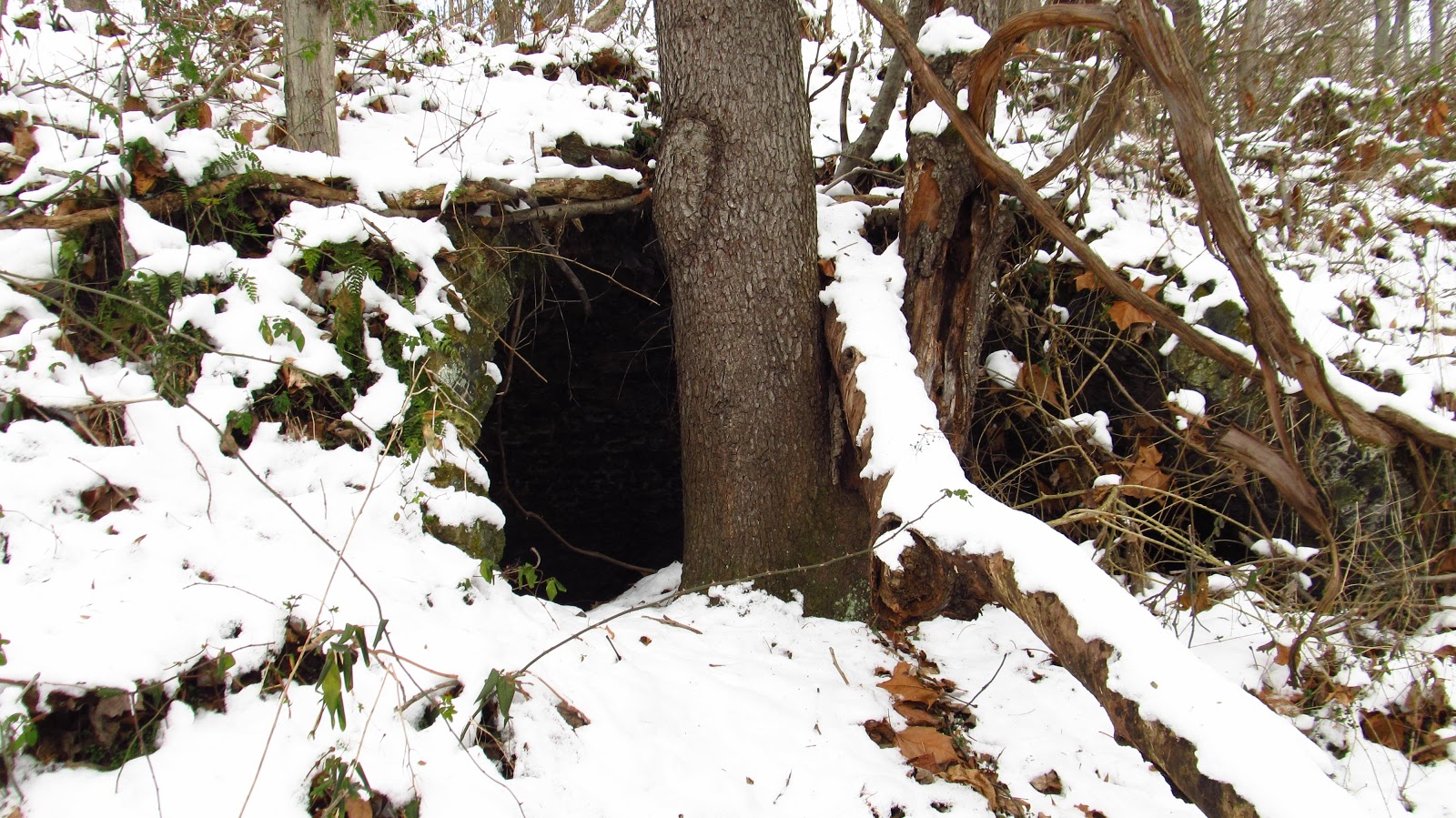
Very little evidence remains of this mine or tipple. The mine was located south of the railroad and that area was stripped. What remains are part of the mine dump, some features in the topography where the tipple was located, part of the railroad siding, and a very small section of stone wall on the other side of Getty Run.
 |
Small "shelf" on the south bank of the railroad. |
 |
North side of the railroad and the small stone wall on the other side of Getty Run. |
 |
Section of the stone wall. |
 |
Remains of the mine dump. |

 |
Some railroad ties along the siding for the No. 3 Mine. |

Irwin Gas No. 4
A little more remains here as far as evidence of the tipple and siding. There appear to be footers remaining from the tipple on the other side of the creek but they are located in a section where it is uncrossable when the water is high. Coming down off County Road is the best bet for accessing the tipple site. A very pronounced railroad grade is located on the siding that at one time crossed the creek. Large pieces of concrete pipe are located below the siding indicating that the creek was not bridged and the fill probably got washed out over the years.
 |
A photo of Irwin Gas No. 4 from the February 17, 1921 Coal Age magazine. |
 |
Footers for the tipple located between Getty Run and County Road. |
 |
Split between the siding grade and large pieces of concrete pipe. |

 |
Showing where the siding leaves the railroad, now the Westmoreland Heritage Trail. Looking East. |
 |
Siding looking West. |
 |
Walking the siding. |
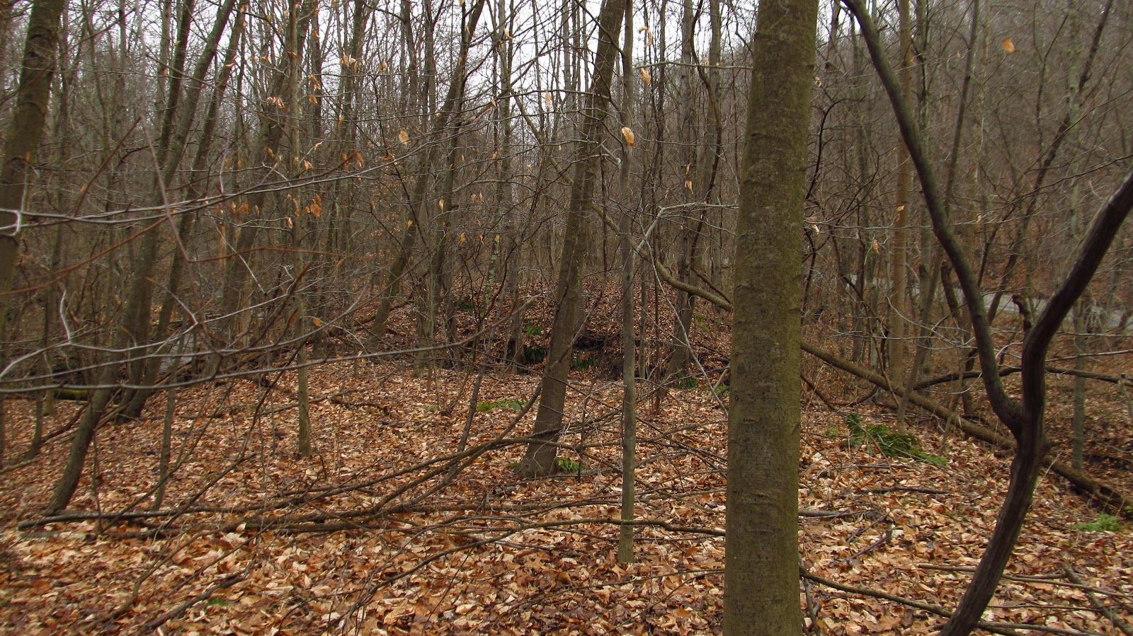 |
This is where the siding gets split in half. |
 |
Looking over to the other side. |
 |
Walking along the side of the creek looking for a way across I came across some of the old tipple piers laying on their side. Large concrete piers being thrown around lend to the theory that the water washed out the fill in the siding. This creek can get rather turbulent in high water. |
 |
More piers. |

 |
A large concrete slab. |
 |
Even more piers. |

 |
Concrete pipe pieces. |
 |
In summer this would be crossable but not on a cold day. |
 |
Some railroad hardware laying on the siding. |
 |
Walking back down the siding the way we came in. I just stayed down here and kept walking over to the next mines railroad yard. |
Louise No. 1
TThis is the best site in the group as far as tipple remains. Louise No. 1 was opened in 1919 by the Howard Gas Company of Greensburg. Also associated with the mine is the town of Patton across the creek and on the other side of County Road.
The Howard Gas Coal Company was started by J. Howard Patton. Patton was a superintendent of the Pennsylvania Railroad from 1870 to 1880. After leaving the railroad he moved to Claridge in 1885 and opened a general store. On January 12, 1891 Patton, who was a heavy investor in the newly formed Claridge Gas Coal Company, acquired 170 acres of coal lands south of the Denmark Mine from Greensburg coal magnate George Huff. Three months later he conveyed the land to Claridge Gas Coal Company. Eventually he would become president of the Atlantic Crushed Coal Co., Lucesco Coal Co., Huron Coal Co., as well as Hempfield Foundry and Greensburg Storage and Transfer Co. His son, Howard C. Patton would be superintendent of the Howard Gas Coal Company as well as Huron Coal Company.
What is unique about the Louise Mines is the whole engineering of the mining complex. The mines are located high on the hills and the coal is brought to the railroad by a system of inclines and chutes. This company also operated the Mount Gray Mine nearer Saltsburg which used a similar set up.

J. Howard Patton. Photo courtesy of Mary Jane Shaw.

J. Howard Patton. Photo courtesy of Mary Jane Shaw.
 |
1939 aerial showing the layout of the mine. |
 |
Old culvert running under the railroad grade. |
 |
Railroad yard for the Louise No. 1 Mine. |
 |
Louise No. 1 coal. |
 |
Looking over at County Road. |
 |
Looking over toward the trail. |
 |
On the hillside below the trail are these rails sticking out of the ground that were used for structural supports of the tipple. |
 |
Below those are some piers. |

 |
Looking across the valley to the railroad siding and tipple area. |
 |
Cable used to hoist the mine cars up the tipple. |

 |
Looking back up toward the trail. |
 |
Steel anchors from the tipple. |

 |
These mounds of fill also helped support the tipple. |
 |
There was a lot of steel laying around from old mining equipment. |

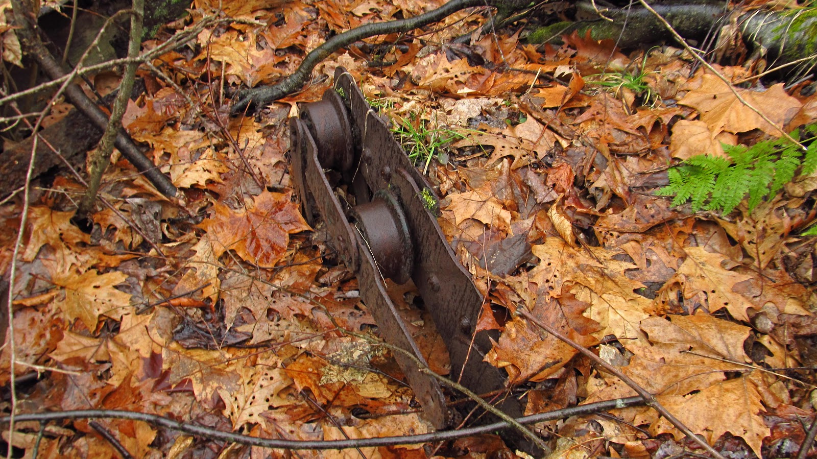 |
I'm guessing it's some type of pulley. |


 |
I'm not sure what any of this was used for. This piece is very heavy though. |


 |
Looking over at the creek. County Road in the background. |
 |
Some piers on the other side of the creek. |


 |
This is laying in the creek. I though it was stone at first but it's concrete. |

 |
Muddy waterfall. |
 |
Odd pieces of cut stone. |
 |
A small mine dump chewed up by the creek. |

 |
Another small mine dump. |
 |
Flooded siding. |

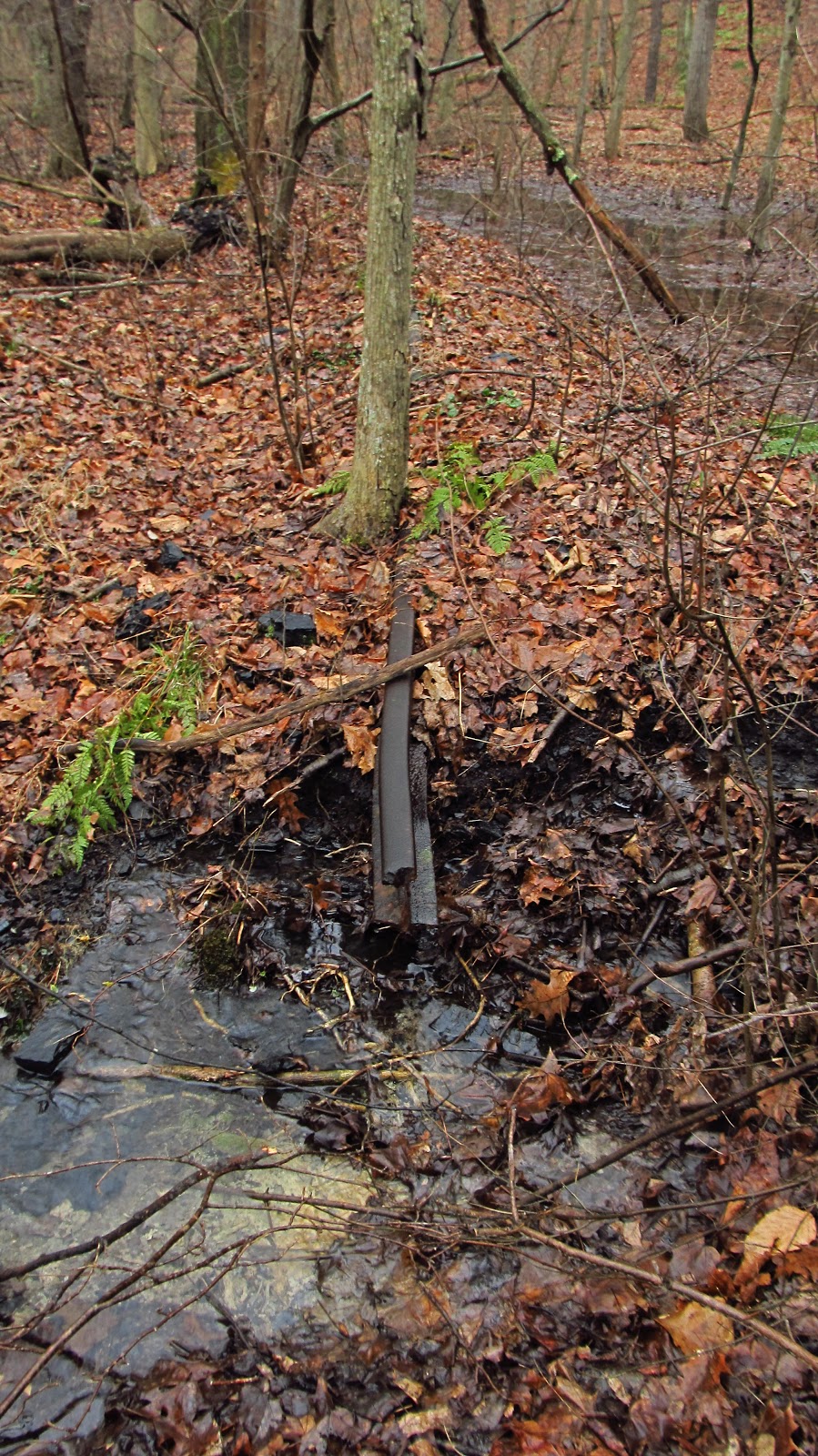 |
Old piece of rail still remaining on the siding. |


 |
Looking toward where the siding meets the main branch. |
 |
Fallen tree and torn up railroad ties. |

 |
Railroad spike laying in the tree. |
 |
Old tie plate. |
 |
Spike sticking out of one of the ties in the tree. |
 |
A bunch of old railroad ties still laying in the rail bed. |
 |
Approaching the end of the siding. |
 |
Another spike. |
 |
Another old culvert. This is running under the siding. |

 |
End of the siding. |
 |
Where the siding comes off the branch on the right. |
 |
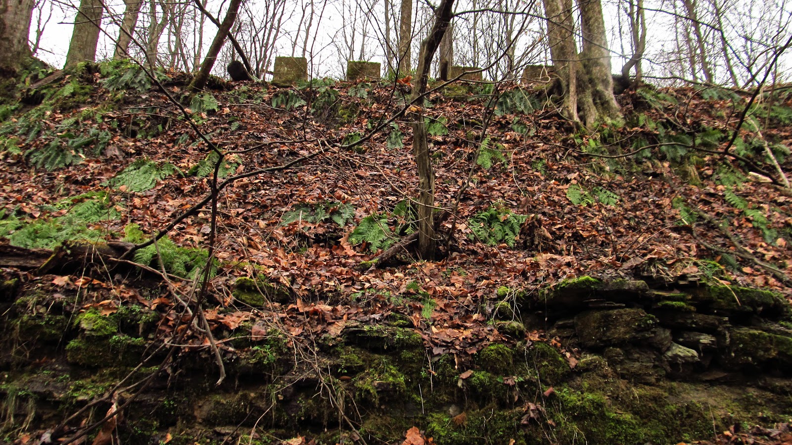
This is on the other side of the railroad directly across from the Louise No. 1 tipple. We originally thought that both mines shared the same tipple. Louise No. 2 has its own tipple a little further down. A possibility is this could have been a hoist house for the No. 1 tipple. It's still remaining a mystery for now. |

 |
It has similar cable laying around like the other side. |
 |
Possible support for something. |
 |
A view from the top. |
Louise No. 2
Louise No. 2 is another amazing feat of engineering. It's hard to find a lot of information on this mine but there are mine maps available. Like I said earlier, the earliest date I can find for this mine is 1923 and that is off the Pennsylvania Railroad CT1000 list of stations and sidings for that year. After Howard Gas Coal Company, the mine was operated by the Kiski Gas Coal Corp. followed by the Armstrong Westmoreland Coal Company. The last survey on the mine map is dated December, 1947.
 |
Detail of the mine map showing the incline where the coal was shipped down the mountain. The elevations range from 1175 feet at the top to 1080 feet at the bottom. |

Halfway up the hill. Looking up at the large slate dump that hugs the hillside.

This is part of the incline where the coal was shipped down the mountain. This trip up the mountain was a huge trek of follow the coal.

And there was a lot of coal to follow. The whole hillside is littered with huge chunks of coal.

There were numerous potential adit's on the way up but the main entrances were up at the top along an outcrop. We ended up at the top but were not far enough west to locate the entries.


At the top. The entrances would have been to the right another 150 yards or so. There was also evidence of strip mining up here so the terrain has more than likely been altered.

Looking down at the slate dumps.

Another potential adit.

On top of the slate dump.


These photos are looking down the incline. The sides were lined with coal.


The incline ends at the location where the tipple would have been. Mary Jane is at the bottom to the right.


Looking down at the trail from the tipple location.
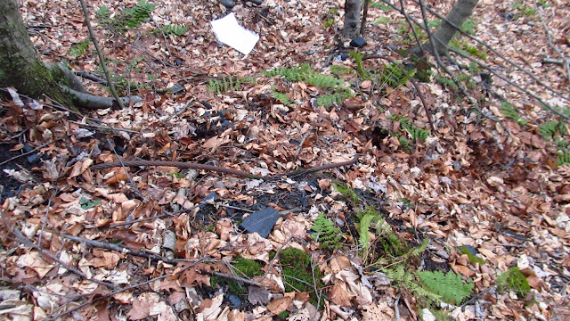
Some more steel hoisting cable here too.


Looking up the mountain at the tipple location.


Halfway up the hill. Looking up at the large slate dump that hugs the hillside.

This is part of the incline where the coal was shipped down the mountain. This trip up the mountain was a huge trek of follow the coal.

And there was a lot of coal to follow. The whole hillside is littered with huge chunks of coal.

There were numerous potential adit's on the way up but the main entrances were up at the top along an outcrop. We ended up at the top but were not far enough west to locate the entries.


At the top. The entrances would have been to the right another 150 yards or so. There was also evidence of strip mining up here so the terrain has more than likely been altered.

Looking down at the slate dumps.

Another potential adit.

On top of the slate dump.


These photos are looking down the incline. The sides were lined with coal.


The incline ends at the location where the tipple would have been. Mary Jane is at the bottom to the right.


Looking down at the trail from the tipple location.

Some more steel hoisting cable here too.


Looking up the mountain at the tipple location.

 |
Portion of the 1923 PRR CT1000 showing the locations of the sidings for the mines. We covered 5458 through 5459A in this post. Seehart Colliery might have been the same as Loyal Mine. That's getting saved for another day. |