The Packsaddle Gap on the Conemaugh River is a very isolated area accessible only by boat or by walking the Norfolk Southern tracks. The canyon averages 1,308 feet from river to rim and the highest point in Indiana County is located here at 2,160 feet. Due to its inaccessibility, the gap offers a treasure trove of ruins from the Western Division of the Pennsylvania Main Line Canal. The remains of Guard Lock #5 are also located back here but we were unable to get to it today. The area is very overgrown in the summer and is the happy home of many varieties of venomous snakes. Going too far into the brush isn't recommended.
Today I paddled with about 20 other people in a program sponsored by the Conemaugh Valley Conservancy.
The annual Stony Kiski Conemaugh River Sojourn
is a four day event that takes place in early June. Today was day two and I jumped at the chance to go through the Packsaddle Gap. Aside from the canal ruins, the scenery throughout the gap and beyond is some of the most spectacular in Southwestern Pennsylvania. The faster but easy to navigate ripples always give way to extremely relaxing pools where you can kick back and take in the sights. We weren't even at the canal ruins when I decided I will be doing this trip again next year. Talking with some of the nicest people I ever met made me plan to make a weekend of it.
Thank you all for everything. Today was amazing!
 |
| Starting off at Robinson. |
 |
| Heading down past Bolivar. |
 |
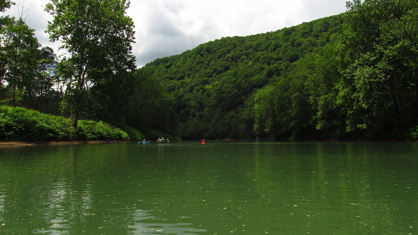
| The gap is in the distance. |
 |
| Today was the perfect day for this trip. |



 |
| Some nice rock formations along the river. |

 |
| This is the first of the extant canal ruins. |


 |
| Amazing. |


 |
| Heading a little further. |
 The next section of canal ruins.
 Built in the 1820's, these walls have withstood countless floods and look better than the majority of modern retaining walls.


 These are pieces of an old dam. Normally they are under water but when the river is low they are still visible.


 |
| Heading ashore on a path the guys from the Conservancy cleared the day before. |
 |
| An incredible canal lock. |
 |
| Notice the curved stone. |


 |
| This cut stone is enormous. Such an incredible amount of work. |

 |
| I found this old iron spike between the stones. |
 |
| The masonry is incredible. Almost 200 years after it was placed here the stone is still tight. |
 |
| Looking up the canal prism. |

 |
| A huge fallen stone. |
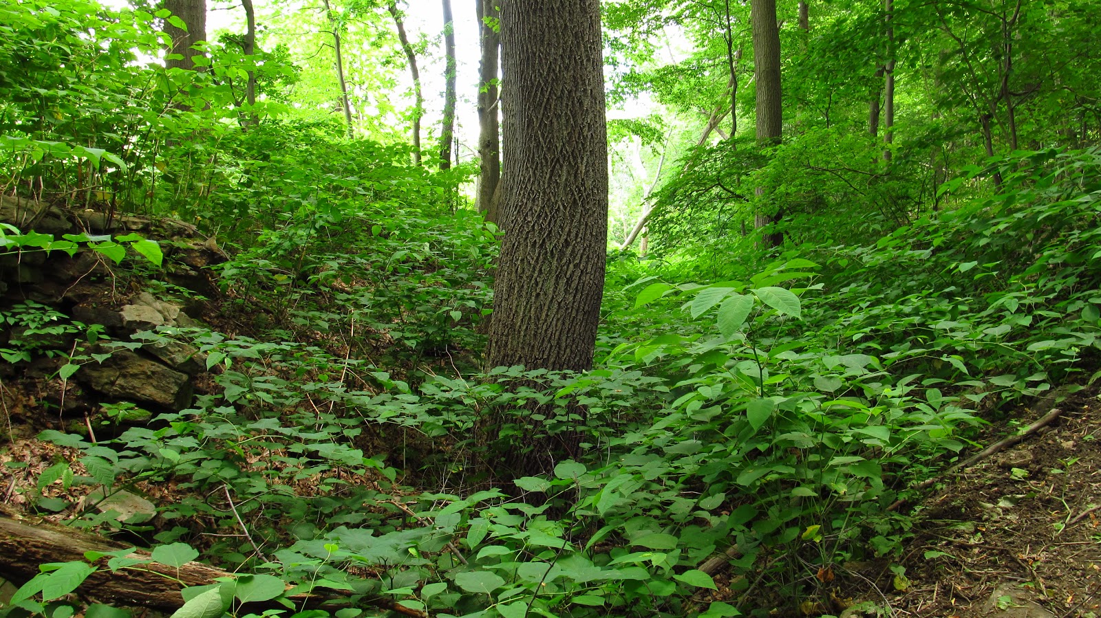 |
| Completely overgrown but visible canal prism. |
 |
| One of the non-venomous inhabitants of the old canal lock. |
 |
| Heading off again. |
 |
| Big fallen chunks of a rock shelf over the river. |

 |
| More canal ruins. |

 |
| Approaching the old railroad piers at Cokeville. |


 |
| The railroad bridge abutment at Cokeville. |
 |
| Last night a man I was talking to told me to look for indentations in the cut stone. The masons apparently would mark the stone they cut. Here is one. |

 |
| A "D" indentation. |
 |
| Another one. |
 |
| Another "A". |
 |
| Heading toward the old Blairsville to Cokeville road bridge piers. |
 |
| Some Blairsville kids enjoying the river. |
 |
| A family of ducks! |

 |
| Take out was near the Bairdstown Bridge at Blairsville. |

 |
| The abutment from the old bridge is right next to the modern one on the east side. |
 | |
| The west abutment sits a little further. |
 |
| Hanging on the wall at the Robinson community center where we launched (and lunched) is an old stamp for the Garfield Crown fire bricks which are found in countless coke ovens throughout the region. This blew me away! |
 |
| It is hanging under a photo of the Garfield Fire Clay Co. Refractory. |
