Today I followed the old Sewickley Branch from Armbrust to Mammoth. I started in Youngwood on the existing Five Star Rail Trail, followed it to the end, jumped a guardrail and kept going.
The Sewickley Branch was basically a rail system of its own. Six branches off the main branch served the majority of major mines and coke works in Mt. Pleasant and Unity Townships. It must have been a seriously busy line. Its only connection to a major line was The Pennsylvania Railroads SWPA Division at Youngwood. I'm having a difficult time finding all the dates for all the branches but I'm sure they would coincide with the openings of the mines. The earliest mention of it I can find is from the 1888 Official Railway Guide: North American Freight Service Edition. It lists it as going from Youngwood to Trauger for a distance of 6.9 miles. On the 1902 topographic maps the whole system is featured.
 |
| This is the end of the Five Star Trail that runs from Lynch Field in Greensburg to Armbrust. |
 |
| Right here there is a guardrail to left you have to jump over and ride along Armbrust Road, cross 819 and catch the old railway again off Armbrust Brinkerton Road. |
 |
| Before getting to 819 it looks like the railway crossed Sewickley Creek a second time here. |
 |
| After getting on Armbrust Brinkerton Road the railway goes through the nursery on the right. |
 |
| This is the bridge at the Boyer Run branch crossing Sewickley Creek. It's a bit sketchy. I've walked across it before but today it was all overgrown and full of holes. A bad combination. |
 |
| A view of the bridge from the main Sewickley Branch. |
 |
| Continuing down the line. On the left is a road up to a farm. It's not one of the branches. |
 |
| The first road crossing is Udell Road. |
 |
| Continuing on after Udell Road. |
 |
| Here we come to the Hester Coke Works which are completely overgrown this time of year. They are actually in pretty good condition when you can see them. |
 |
| I covered these ovens in an earlier post that can be viewed here: http://coalandcoke.blogspot.com/2013/01/brinkerton-coke-works.html |
 |
| Another view of the AMD treatment ponds. |
 |
| After this we come to Brinkerton Ext. (road). |
 |
| After Brinkerton Ext. we come to the next branch. On the left (somewhere) is the Brinker Run Branch which ran up to Mutual. |
 |
| This whole area is a swamp. |
 |
| Continuing on through the swamp. |
 |
| The next road crossing is Mt. Pleasant Road at Norvelt. |
 |
| We continue on across the road over to the grassy area. |
 |
| Heading up to United on the Bessemer Branch. |
 |
| It comes out on United Road near United Way. |
 |
| This sign blocks the right of way. Beyond it the railway is all overgrown. I turned around and headed back to the main Sewickley Branch. |
 |
| The first thing we come across on our quest to Mammoth is this fun little bridge. |
 |
| No problem getting across that. Moving on. |
 |
| Next is 981 at Calumet. The buildings across the street are in the way. Going in between the red and blue buildings gets you back on your merry way. |
 |
| Continuing on. |
 |
| After turning down Apollo Road in Mammoth I went down to the current Mt. Pleasant Township Municipal Buildings and started working my way back. More about Mammoth can be seen here: http://coalandcoke.blogspot.com/2014/07/mammoth-no-2-and-standard-shaft.html |
 |
| This goes back to the abandoned Mammoth No. 1 mine site. I was never able to connect to the railway I was looking for. Like every abandoned mine site there are trails going off in every direction. |
 |
| There was a lot of nice post-summer early-fall Pennsylvania scenery though. |
 |
| Finally we reach the massive slate dump at Mammoth No. 1. |
 |
| A piece of old steel rail sticking out of the slate dump. |
 |
| More slate dump. |
 |
| A distant church from on top of the slate dump. |
 |
| More rail laying scattered about. |
 |
| Slate dump. Utility pole. Clouds. |
 |
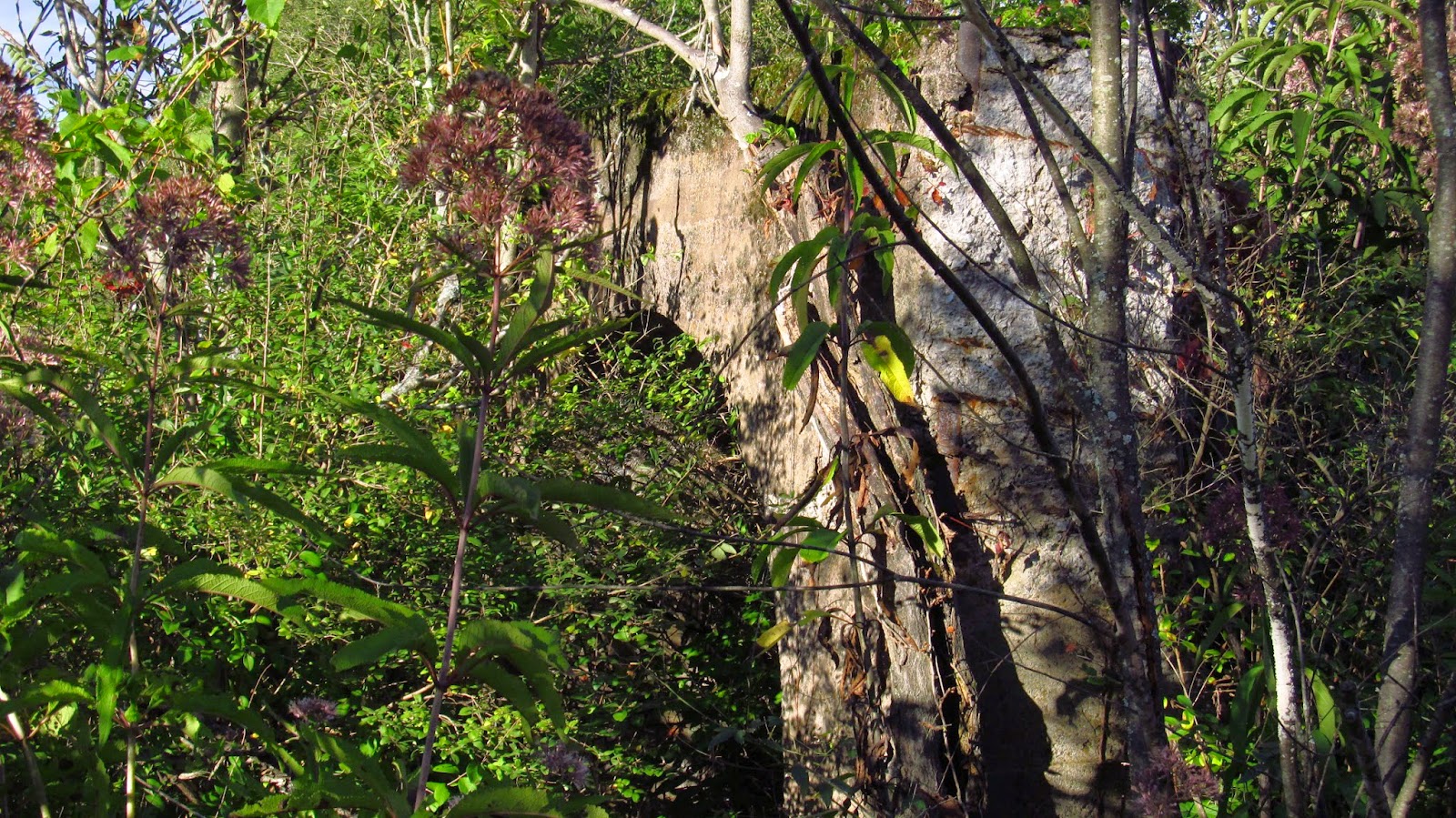
| This is one of the remaining structures at the mine site. It's a giant arch. I'm not sure what its purpose was. |
 |
| A couple walls from an old structure. |


No comments:
Post a Comment