It was a cold morning but a sunny day. I had recently gotten an email from a gentleman looking for information on the Dibble Mine. His Great Uncle died in an accident in the mine in 1919. I've always wanted to get out there and look around, but put it on the back burner because it was located so close to me. Today I felt like getting out but didn't feel like driving too far, so the chips all fell in the right place.
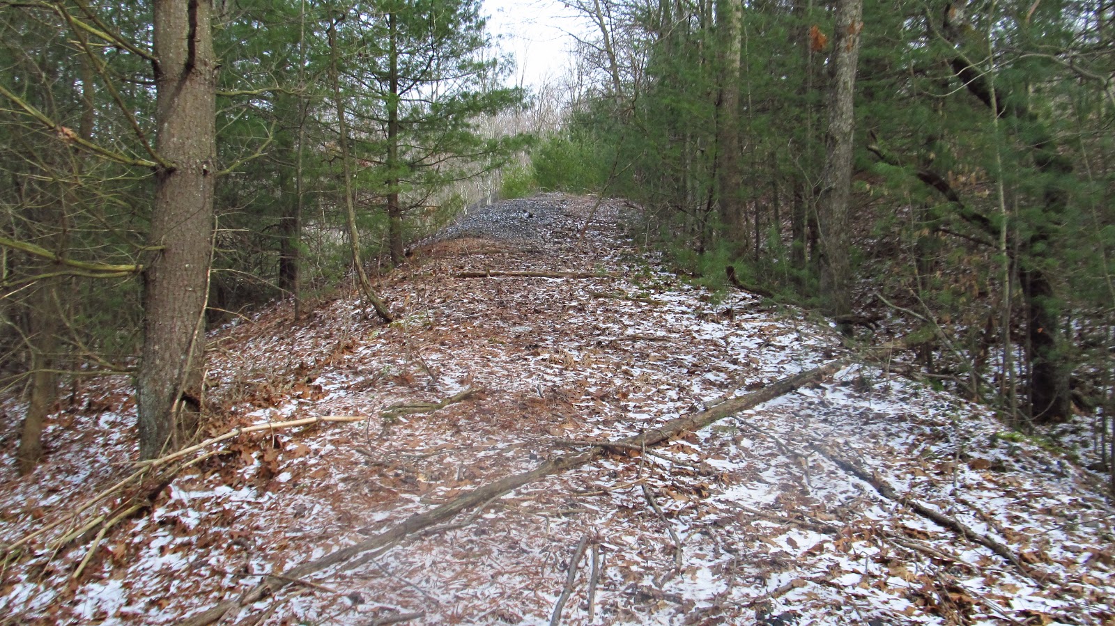
There's actually so much left out there. I looked at the mine maps last night and was able to locate the tipple site and the entrance to the mine. I figured that was a good place to start, but I also wanted to walk the Esler Spur off of the Lyons Run Branch of the Turtle Creek Branch of the Pennsylvania Railroad. I had previously located the beginning of the spur near the turnpike, but never got to check out the end at the mine. I got a nice chunk of that done today. The Lyons Run Valley is a very nice deep, narrow valley that is mostly ignored. It's not too overgrown and was actually a really nice hike. The mine site was also amazing. There is some nice machinery still laying around, slate dumps, strip mine pits, etc. For being so close to an increasingly populated area, it's great to see an isolated valley and historical mining remnants.
As far as mines go, Irwin Gas No.2 was relatively short lived. The mine was active from 1917 through 1928. The origins of this mine however, can be traced back to 1892 when Christian Stauffer Overholt Tintsman began acquiring coal lands in Penn and Franklin Townships. Tintsman, whose lineage brought us Henry Clay Frick, Overholt Whiskey and West Overton is certainly no stranger to Southwestern Pennsylvania coal history. In March 1903, Cyrus Painter Markle Tintsman purchased 154 acres of surface land from the estate of an A.J. Keister. This information was found in the book "History Of Penn Township", John W. Mochnick, 1982. I'm wondering if this was an A.L. (Abraham Lincoln) Keister, instead of A.J. Keister. I can't find any information anywhere on an A.J. Keister, but I am familiar with A.L. Keister, however he didn't die until 1917, so it wouldn't make sense that he had an estate in 1903. Anyway, a month after Tintsman purchase the Keister property, he sold it to the Westinghouse Airbrake Company. Prior to any mining operations on Lyon's Run, Westinghouse sold the property to the Irwin Gas Coal Company.
The Irwin Gas Coal mines on Lyon's Run featured three pit openings. The main opening was located just north of the intersection of Boxcartown and Ramsey Roads. I did locate it. The other two openings were located on opposite hillsides a short distance south of the Lyon's Run Spur of the Turtle Creek Valley Railroad. The south drift was called Dible's, the north drift was named Irwin Gas No. 1. I did not locate these. The two latter drifts were only in operation for a few years, and the main entry was officially designated Irwin Gas No. 2.
 |
This looks like the company store at Boxcartown. Photo courtesy of Ray Washlaski. The store was located next to the two houses on Boxcartown Road, near the mine entrance. |
 |
Portion of the Irwin Gas No. 2 Mine map showing the tipple, entry, store, and other associated buildings. |
 |
Tipple support along the road. |
 |
There is still a lot of coal everywhere. |
 |
Railroad ties in the tipple area. |

 |
Another tipple support on the other side of the creek. |


 |
The is the first piece of old machinery remaining. |


 |
One of the remaining slate dumps. |
 |
Bent up mine track in the slate dump. |


 |
The other huge piece of machinery. I think this was a winch to pull the mine cars up to the tipple. It sits on the hill above the location where the tipple was. |


 |
Looking toward the tipple location from the top of the hill. |

 |
I think this large cut would have stored the train cars loading at the tipple. |
 |
Incline up the other slate dump. |
 |
Top of the slate dump. |


 |
Remains from a mine building. |

 |
Curved mine track stuck in the ground by the mine entrance. |
 |
I think this is a spring. Water was coming up out of the hole toward the top of the photo. I don't think it's mine water because the water seems clean. |
 |
Top of the tipple support along the road. |
 |
Looking toward the mine entrance. |
 |
The entrance is buried but you can see the top of the portal. |


 |
More foundations near the mine entrance. Possibly a fan house. |


 |
The railroad grade toward the tipple area. |
 |
Railroad crossing across Boxcartown Road. |
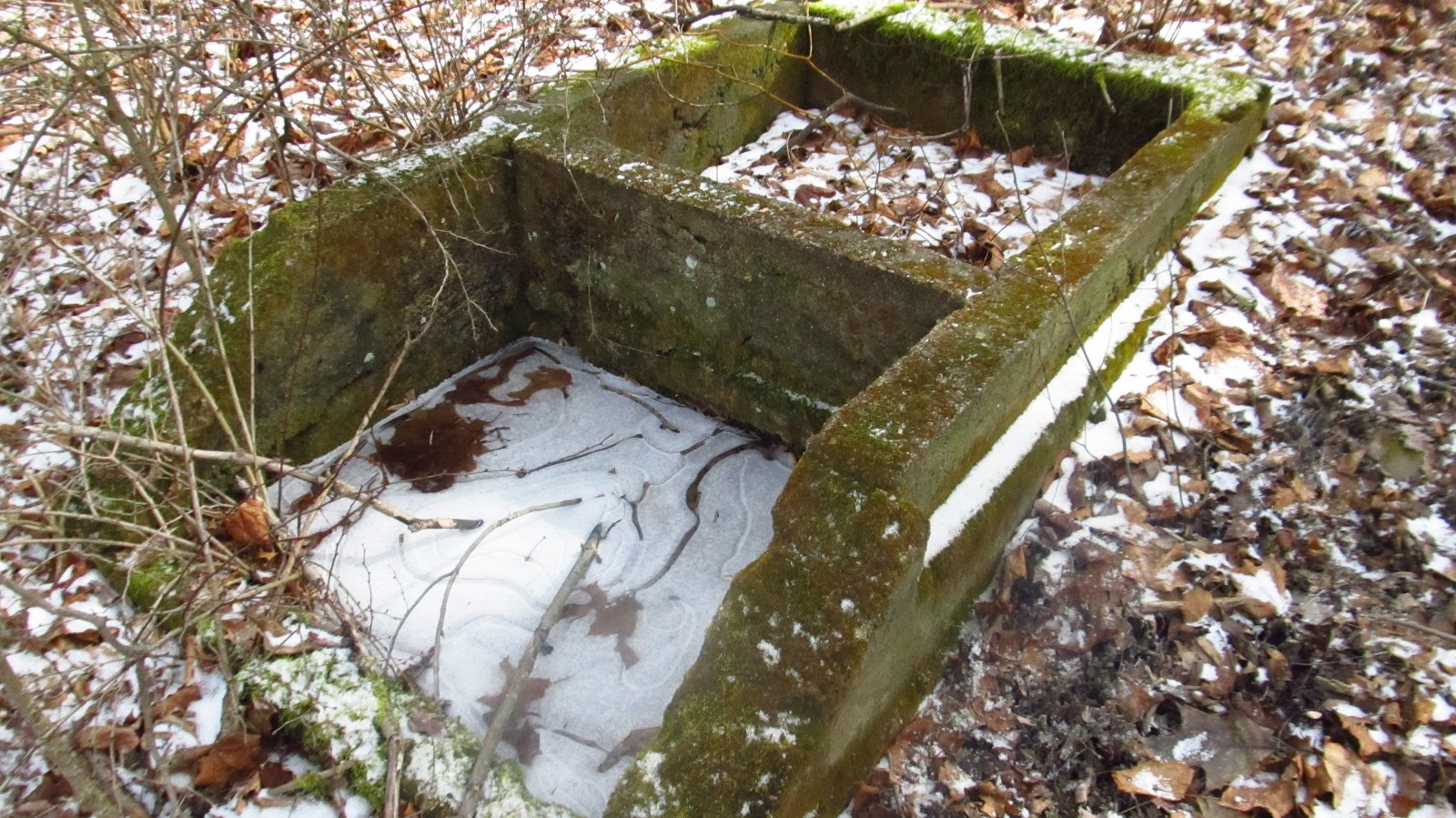 |
Foundation to something. |
 |
Old railroad grade. |

 |
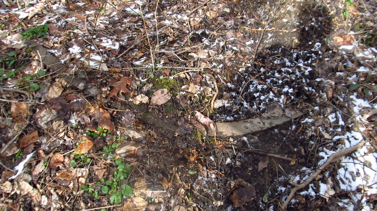
Large pipe under the old railroad bed. |

 |
The valley floor was all very flat. It's impossible to figure out where the railroad sat. |
 |
This is as far as I went because it started getting into farms. This is the bottom of Hoy Farm Court. |
 |
This part is easy to figure out where the railroad sat. There was a pipe under here as well but it got washed out, along with the railroad. |


 |
A couple more railroad ties. |
 |
I found this old beer bottle in the woods. Labor Brewing Company of Uniontown. Labor Brewing Company was in business from 1905-1920 and was operated by Wilmer Wilkey. He know Wilmer from when he operated the Anica Coke Works in Whitsett. |
 |
The corner of Boxcartown and Boxcartown, with a couple of the old company houses. The store sat beyond the house on the far right. |
Awesome write up! I recently heard that the Westmoreland Conservancy was granted some property near there just up Boxcartown Road called the Flynn Reserve. I think that is out of the mine area but wanted to check it out. Was the big winch on the slate dump side of the road? I live just up the road and wanted to ride my bike over there sometime and check it out. Have been meaning to for a while now. Just trying to find the time but would love to see that machinery.
ReplyDeleteThanks!
Brian
He Brian, yes, it's up on that side. That's not conservancy property over there so you'll be doing some trespassing. Just a heads up. I didn't have any problems....
DeleteI saw the sunny forecast and almost came to Pa. myself for some pics. Never knew about the Boxcartown patch. Thanks for sharing.
ReplyDeleteHey Chris! Hester Round Three is March 7 if you're interested.
Deletedoes anyone know the date of the first house on the left grey house?
DeleteThis comment has been removed by a blog administrator.
ReplyDeleteGreat photos and accompanying explanatory text. Every visit to this site I learn something. Great job Mike. Thank you so much for bringing the recent past to life.
ReplyDeleteHi Paul. Nice to hear from you. I hope you and your family are doing well.
ReplyDeleteSo wonderful seeing these pix! My former in laws were raised in Boxcartown .. former father in law went to the school there. My parents still own a small farm in Boxcartown. I lived in the center company home and sent my kids to school from that intersection. Was wonderful seeing these pix.
ReplyDeleteI hava company "check" from Irwin gas coal company. Would love to get it back to some relatives but probably impossible to find info.
Anyway thanks again!
Thank you! Do you have a metal coal miner check from Irwin Gas coal, or is it paper check?
Deletenice post
ReplyDeleteThanks for this page it's a great one you should keep posting!!
ReplyDelete