Yesterday, a small group of us got together to take another walk through Cokeville. I have been back there many times, but concentrated exclusively on the town itself, the old railroad alignments, and the coke ovens. Today (yesterday will be referred to as today from here on out) we took a walk out there to try and find the remains of the old canal that ran right through the heart of the former town. We found some of the most extant sections of the Western Division of the Pennsylvania Canal that still contain water. This was a great find in itself, but we learned that a large portion of this canal section is inhabited by beavers. Nothing is better than being with some of your favorite people, exploring lost history, and combining it with an element of wildlife which have adapted, and thrived, in an enormous man-made ditch which stretched across the entire state. So few people are even aware of the Pennsylvania Canal, which was one of the greatest transportation achievements in the history of the state, but became obsolete almost immediately after its completion.
The canal predated the dawn of the great Pennsylvania Railroad, which would consume enormous portions of the canal either by filling it in to lay its tracks or by using its towpaths. This makes finding sections of the canal that are still intact rare, let alone portions that still contain water. Fortunately, we can still find both if we know where to look. There is still a very intact, and easily accessible section along the West Penn Trail at White Station, as well as a nice section (sans water) near Conemaugh Dam, but finding a large intact section requires a good deal of research. I know I'm of the opinion that everything should be preserved, but the easy accessibility of this site, along with it being located on government land, would make this a great project to understand and interpret this piece of Pennsylvania history.
Obviously, we walked up to the coke ovens too...
 |
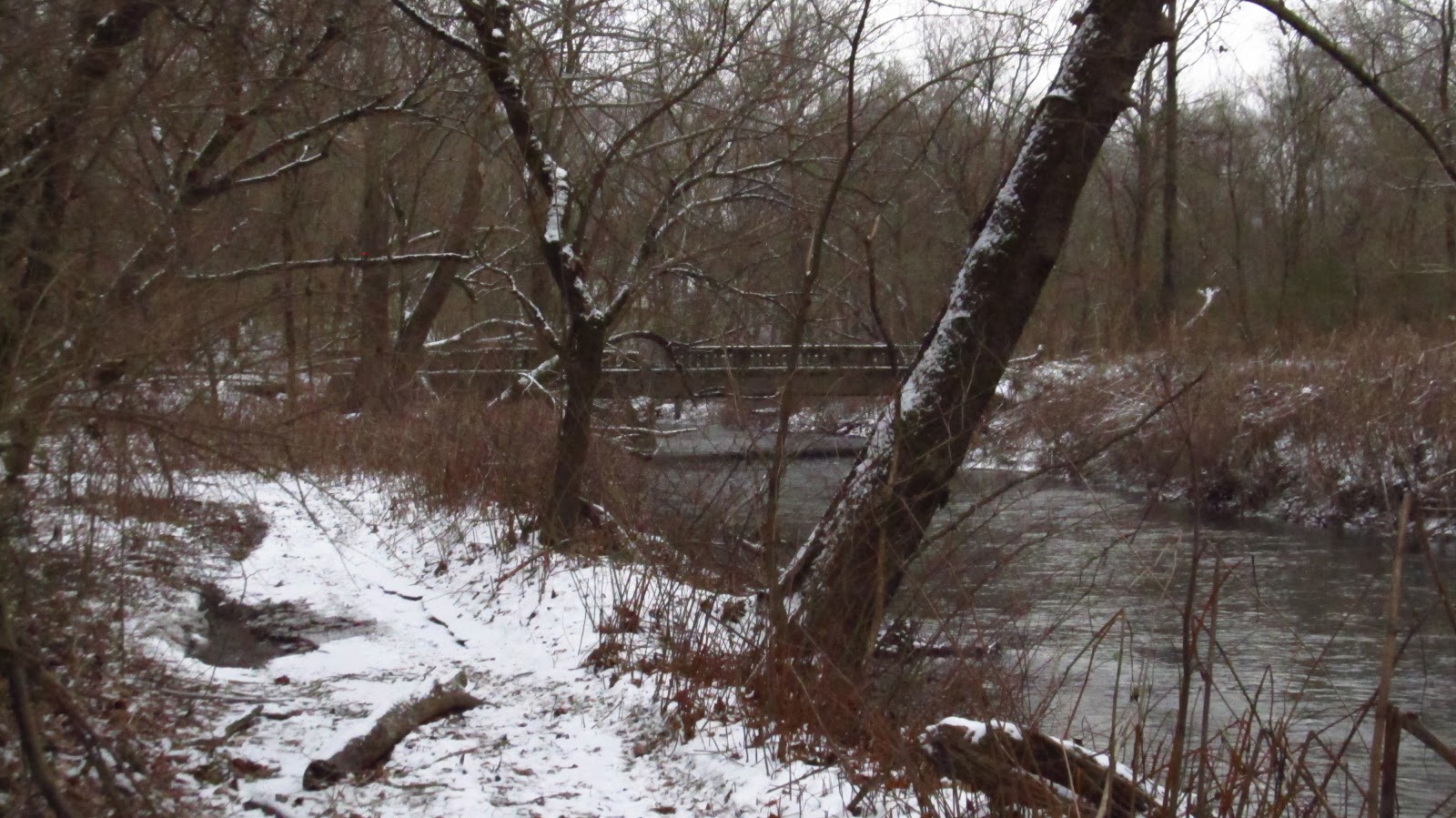
Down in Cokeville along the river. These are the piers for the bridge that connected this town and Blairsville. This road alignment was an early alignment of Route 217 which connected Derry and Blairsville. More information on Cokeville and my earlier trips to town can be found here and also here. |
 |
These photos are of the beaver evidence that we found along the old canal. |

 |
Toward the center of the photo you can easily see the this iced over section of canal. |
 |
Cliff examining beaver evidence along the banks of the canal. |
 |
A nice intact section of canal. |
 |
More beaver work. |

 |
More canal. |


 |
Piers from the old Western Pennsylvania Railroad dating back to ca. 1863. |
 |
Another mason mark on one of the enormous cut stones. |
 |
Looking down from the old railroad grade. |
 |
Some of the remaining ovens from the Isabella Coke Works circa 1872. |

 |
I am standing on the Cokeville Spur of the Western Pennsylvania Railroad, later Pennsylvania Railroad. To the immediate left is the coke pier and beyond that are the ovens and coke yard. |
 |
Brother Lou checking out the ovens. |

 |
Mary Jane and I discovered this tree during one of our previous trips here. It's still the same. The bottom of this fallen tree contains the entire floor of one of the coke ovens. |
 |
Another one of our previous finds. This is a stream running through the center of an old coke oven. The top waterfall is running over the back wall of the oven. The one below that is running over the tile floor of the oven. Below that is erosion from this stream. |
 |
A few more of the remaining ovens. |
 |
These photos were taken from the field behind Torrance State Hospital. |


 |
Old bridge crossing McGee Run which led into the town of Cokeville. |
Wow! I've hauled a lot of limestone from Torrance. Pretty cool seeing I was so close to this. My great-great grandparents came from Blairsville. I need to connect with the area.
ReplyDeleteCheck it out sometime Brant. It's an interesting hike.
DeleteHow do you get down to that stuff? I work at Torrance and always wanted to explore that area
ReplyDeleteYou can get down there from the end of Pizza Barn Road or there's also an old road right off of Torrance Road before you get to the high part if you're leaving the hospital. It'll be on the right.
DeleteOk thanks. That road leaving Torrance is on the right, right before the bridge? I never been to the whole way to the end of pizza barn road. I thought maybe across from Paps to
DeleteI grow up in cookeville, in the last house that stood after the flood (now it is condemed). I still hunt the grounds, I will say if you would like me to show you around, contact me and I will show you everywhere and I'll even show you where the bank was.
ReplyDeleteCool to see you found that section of the canal. On Google maps it is actually marked as the canal. Buddy of mine and I were back there about 7 years ago. We started out interested in Cokeville, and the night before my friend noticed is was marked on maps, so we walked it from Cokeville as far as we could. We never did see the ovens though. There were people using metal detectors. That canal find inspired us to trace as much of the mainline of public works as we could between Hollidaysburg and Duncan's Island. It took us 2 overnight trips. Hol-Lewisburg, and a year later lew-Duncan. I went to college in Lancaster like 20 years ago, so I took us to some sites of other canal operations not related to the pa canal in the Susquehanna Valley. Again from a former Delmontian, nice post Mike. I knew you'd get out this weekend.
ReplyDeleteThanks! I saw that on Google maps too. We only did the section from Cokeville to the big railroad grade. I have never gotten beyond that grade even though I always intended to. I am hoping to get out there at least one more time before spring.
DeleteWhere exactly are the coke ovens I've been all through the woods back that way and never came across them grew up in brenizer and explored through the woods alot when I was younger I'm 23 now
ReplyDeleteThey aren't where you'd expect them to be. It took me a couple years to locate them. They sit high on the bluff above town directly below the field behind Torrance Hospital. You have to climb up the old railroad grade and follow that back. Before you get to the field elevation, you have to climb in there on the right and follow that spur of railroad grade. The ovens are along that on the left.
Delete